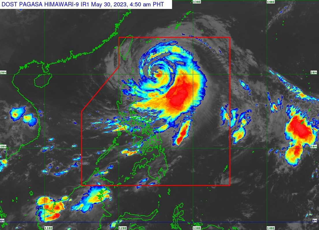

Batanes is still under Tropical Cyclone Wind Signal (TCWS) No. 2 on Wednesday as Typhoon Betty maintains its strength while accelerating over the sea east northeast of the province, PAGASA said.
In its 11 AM bulletin, the state weather bureau said Betty was last seen 375 km East of Itbayat, Batanes with maximum sustained winds of 120 km/h near the center, gustiness of up to 150 km/h, and a central pressure of 970 hPa. It is moving Northeastward at 10 km/h.
Three areas, meanwhile, were under TCWS No. 1 namely the following:
- the northeastern portion of Isabela (Santa Maria, San Pablo, Divilacan, Maconacon, Palanan, Cabagan)
- Apayao
- Cagayan including Babuyan Islands
PAGASA said rainfall from 50 to 100 millimeters may be experienced over Ilocos Norte, Ilocos Sur, La Union, Abra, and Benguet until Thursday morning.
Occasional to frequent rains may be experienced due to the Southwest Monsoon enhanced by Betty, it added as it warned of possible flooding and rain-induced landslides especially in areas prone to such hazards and those areas with considerable amounts of rainfall for the past several days.
Minor to moderate impacts caused by gale-force winds may occur within the areas where TCWS No. 2 is hoisted.
Minimal to minor impacts from strong winds are also possible within any of the areas under TCWS No. 1.
The state weather bureau also noted that the Southwest Monsoon enhanced by Betty will also bring occasional to frequent wind gusts are expected over the Bicol Region, Western Visayas, Aurora, Quezon, the northern portion of mainland Palawan including Calamian and Cuyo Islands, Mindoro Provinces, Romblon, Ilocos Region, and Cordillera Administrative Region.
A marine gale warning is still in effect over the seaboards of Northern Luzon, eastern seaboards of Central Luzon, Southern Luzon, and Visayas.
PAGASA said Betty is expected to gradually accelerate until Thursday while moving generally northward over the waters east of Batanes. It is likely for the typhoon to "wobble" in the next 12 hours.
It will turn more northeastward starting Thursday afternoon or evening.
On the forecast track, PAGASA said Betty will exit the Philippine Area of Responsibility (PAR) Thursday evening or Friday early morning.
