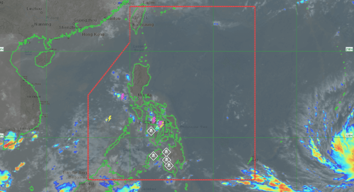

The Philippine Atmospheric, Geophysical and Astronomical Services Administration (PAGASA) issued a warning on Saturday regarding a tropical storm situated east of Mindanao, which has the potential to develop into a super typhoon and enter the Philippine Area of Responsibility (PAR) by next week.
The storm, currently located outside of the PAR, is positioned approximately 2,525 kilometers east of Mindanao, and is embedded within the Intertropical Convergence Zone (ITCZ).
The ITCZ refers to the convergence of the northeast and southeast trade winds, resulting in cloud formation and precipitation.
According to PAGASA weather specialist Benison Estareja, there is a possibility that the storm could further intensify and reach typhoon or super typhoon status.
"Hindi natin inaalis yung possibility na lalakas pa ito either by typhoon or super typhoon," he said.
As of now, the storm has sustained winds of 45 kilometers per hour (kph) and gusts of 55 kph. It is moving northward at a speed of 20 kph and is expected to continue on a north-northwest track towards Guam by Sunday, eventually veering northwestward by Wednesday.
If the storm maintains its current trajectory, it is anticipated to enter the PAR by Friday or Saturday next week.
It will be named 'Betty', with international name 'Mawar', once it enters the country's weather monitoring area, becoming the second tropical cyclone of 2023 and the first in the month of May.
"Ibig sabihin, kung ganito ang nakikita nating track for this tropical depression, mababa 'yong tiyansa na ito'y tatama sa ating kalupaan," said Estajera.
However, attention will be focused on monitoring how it will enhance the southwest monsoon across a significant portion of the country in the coming week.
