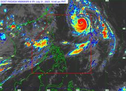
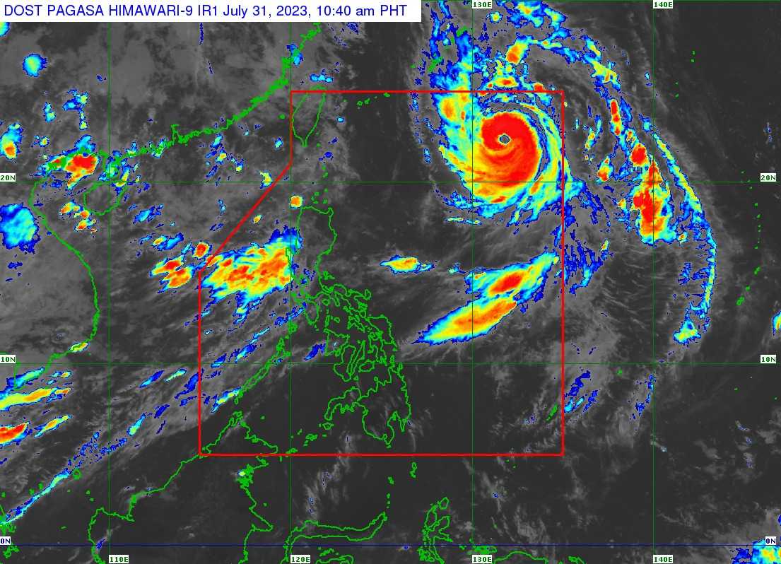
Typhoon Falcon has maintained its strength while over the Philippine Sea and may further intensify and reach its peak intensity on Tuesday, the state weather bureau said on Monday.
In its 11 AM bulletin, PAGASA said it spotted Falcon 1,045 kilometers East of Extreme Northern Luzon, packing maximum sustained winds of 150 km per hour (kph) near the center and gustiness of up to 185 kph.
Presently, Falcon is seen traveling north-northwestward at 15 kph and may continue in this direction until Tuesday.
“FALCON is forecast to further intensify over the next 1 or 2 days and may reach its peak intensity tomorrow or on Wednesday,” the state weather bureau said.
No Tropical Cyclone Wind Signals (TWCS) have been raised in any part of the country as of this writing.
Typhoon Falcon is expected to leave the Philippine Area of Responsibility (PAR) on the afternoon of August 1 or the evening of August 2.
“Outside the PAR region, FALCON will turn west-northwestward and pass close (landfall not ruled out) over Okinawa Islands in the Ryukyu Archipelago between tomorrow evening and Wednesday morning while gradually decelerating,” PAGASA said.
Meanwhile, the western portion of Luzon and Visayas will continue to experience occasional monsoon rains brought by enhanced Southwest monsoons.
Generally high rainfall is expected in elevated or mountainous areas.
The state weather bureau warned that flooding and rain-induced landslides in the aforementioned areas as well as in localities may experience considerable amounts of rainfall in next days.