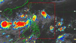
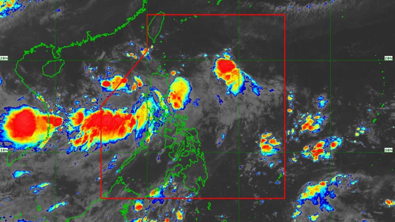
The low pressure area (LPA) west of Northern Luzon has developed into Tropical Depression “Lannie,” the DOST-PAGASA said on early Saturday, September 6.
According to the state weather bureau, “Lannie” was located 315 km west of Sinait, Ilocos Sur at 4:00 AM, moving westward at 15 km/h. It has maximum sustained winds of 45 km/h near the center, gustiness of up to 55 km/h, and a central pressure of 1004 hPa.
No tropical cyclone wind signals (TCWS) are currently hoisted, but the PAGASA reminded that it would bring strong to gale-force gusts over: Ilocos Region, Cagayan, and Isabela, from Saturday to Sunday.
“Lannie” will move generally northwest until Monday, September 8, before turning west-northwest through the rest of the forecast period, the PAGASA stated.
It is forecast to exit the Philippine Area of Responsibility (PAR) by Saturday morning or afternoon, based on its forecast track.
However, the PAGASA also noted that “Lannie” is forecast to intensify into a tropical storm tonight or tomorrow morning, September 7.