The state weather bureau hoisted Tropical Cyclone Wind Signal (TCWS) No. 1 in 16 areas as tropical depression Kabayan maintained strength on Sunday afternoon, Dec. 17.
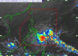
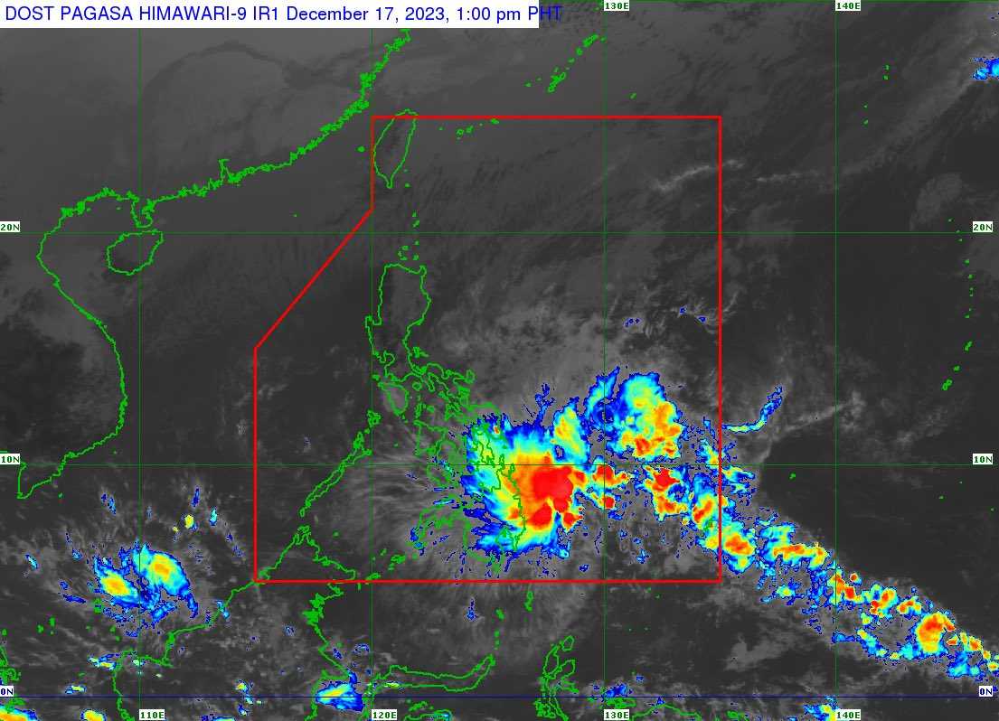
In its 2 PM bulletin, PAGASA said it last tracked Kabayan at 440 kilometers (km) East of Davao City, packing a 55 km per hour (kph) maximum sustained winds, 70 kph gusts, and 1002 hPa central pressure.
The following areas are under TCWS No. 1:
VISAYAS
-
The southern portion of Samar (Basey, Santa Rita, Marabut, Talalora, Villareal, Pinabacdao)
-
The southern portion of Eastern Samar (Maydolong, City of Borongan, Quinapondan, Guiuan, Lawaan, Balangiga, Llorente, Giporlos, Salcedo, Balangkayan, General Macarthur, Hernani, Mercedes)
-
Leyte
-
Southern Leyte
-
Bohol
-
Camotes Islands
MINDANAO
-
Dinagat Islands
-
Surigao del Norte
-
Surigao del Sur
-
Agusan del Norte
-
Agusan del Sur
-
The northern portion of Davao Oriental (Cateel, Boston, Baganga)
-
The northern portion of Davao de Oro (Monkayo, Laak)
-
Misamis Oriental
-
Camiguin
-
The northern portion of Bukidnon (Impasug-Ong, Malitbog, Manolo Fortich, Sumilao, Libona, Baungon, Cabanglasan, City of Malaybalay)
FORECAST TRACK
According to the state weather bureau’s forecast, Kabayan will move in a generally westward or west northwestward direction across the Philippine archipelago in the next two days.
“[Kabayan] is likely to maintain strength until its initial landfall over Mindanao. However, the possibility of reaching tropical storm category pre-landfall is not ruled out,” PAGASA said.
The tropical depression is likely to make landfall along the coast of Surigao del Sur or Davao Oriental on Sunday morning or Monday morning, Dec. 18.
According to the state weather bureau, Kabayan might be downgraded to a low-pressure area while over land or after emerging over the sea “due to frictional effects associated with landfall.”
PAGASA said Kabayan is forecasted “to make another landfall over central or southern Palawan as a tropical depression by Tuesday morning, [Dec. 19] then emerge over the Philippine Sea by noon or early afternoon of the same day.”
“Afterwards, KABAYAN may pass near or over Kalayaan Islands in the West Philippine Sea,” it added.
The state weather bureau raised a gale warning over the seaboard of Northern Luzon and the eastern seaboards of Visayas and Mindanao.
Kabayan developed into a tropical depression on Sunday morning, according to PAGASA’s 5 AM bulletin.