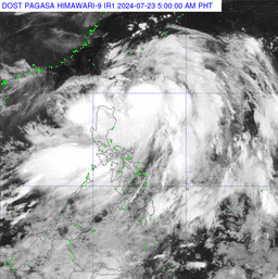
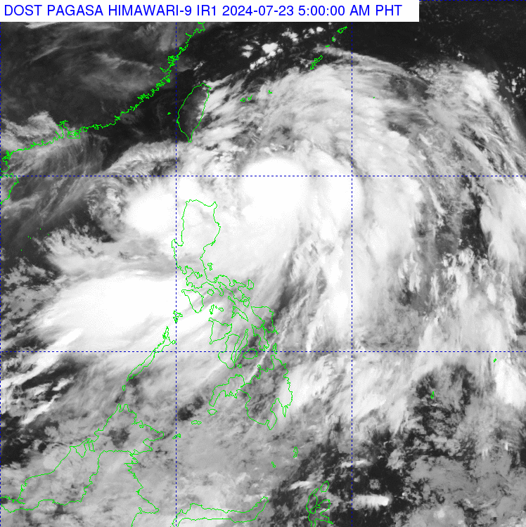
Typhoon Carina slightly intensified as it moved northwestward over the Philippine Sea on Tuesday, July 23, according to PAGASA.
Based on PAGASA's 3 a.m. Tropical Cyclone Bulletin, Carina was last located 380 kilometers east of Aparri, Cagayan, with maximum sustained winds of 130 kilometers per hour near the center and gusts of up to 160 kilometers per hour.
The typhoon is moving north-northwestward at 10 kilometers per hour.
As reported by weather forecaster Grace Castañeda during Magandang Umaga Pilipinas, Tropical Cyclone Wind Signal (TCWS) No. 1 remains in effect for the following areas as of 5:00 a.m.:
- Batanes
- Northern and eastern portions of Mainland Cagayan
- Babuyan Islands
- Eastern portion of Isabela
- Northern portions of Apayao
- Northern portion of Ilocos Norte
- Aurora
- Polillo Islands
- Calaguas Islands
- Northern portion of Catanduanes
"Yung mga areas na nabanggit po natin makakaranas ng malalakas na hangin na maaaring magdulot pa rin po ng damages, lalong-lalo na sa mga structures na gawa sa light materials," said Castañeda.
Aside from TCWS, the adverse weather conditions were also caused by the southwest monsoon (Habagat) enhanced by Typhoon Carina.
"Ang enhanced Habagat po natin ay magdudulot rin ng malalakas na pag-ulan ngayong araw sa western portion ng Luzon, kasama na diyan ang Metro Manila," the weather forecaster added.
"Patuloy pong pag-iingat sa ating mga kababayan sa banta ng pagbaha at pagguho ng lupa," she concluded.