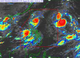
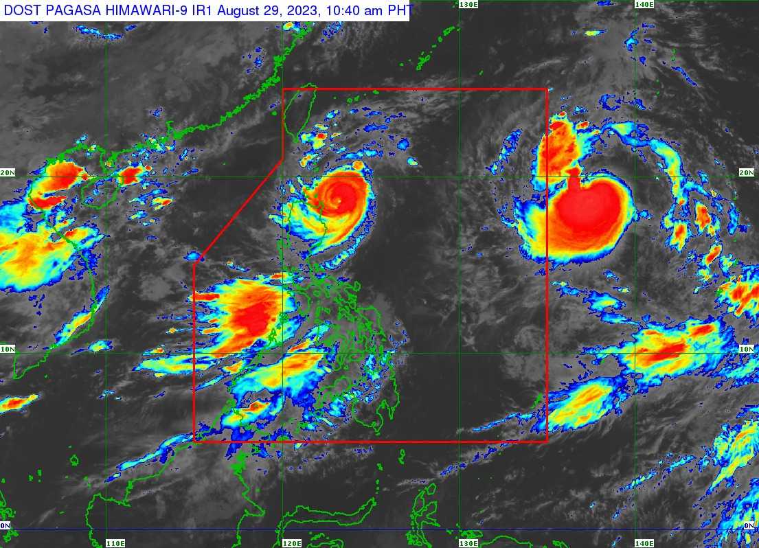
Tropical Storm Haikui has slightly intensified outside the Philippine Area of Responsibility (PAR), according to the state weather bureau's latest update on Tuesday.
As of 10 AM, PAGASA said the center of Tropical Storm Haikui was spotted 1,660 km East of Extreme Northern Luzon, outside PAR, packing maximum sustained winds of 155 km per hour (kph) and gustiness of up to 190 kph.
It is slowly accelerating west-northwestward and may continue in this direction until it enters the country's area of responsibility on Wednesday morning.
Once Haikui is inside, it will be given a local name "Hanna".
The state weather bureau said Haikui may develop into a typhoon on Friday, August 31.
"On the forecast track, the storm is forecast to remain far from the Philippine landmass and may exit the PAR on Friday while approaching the Ryukyu Islands," PAGASA noted.
Outside the PAR region, the state weather bureau said Haikui will reach its peak intensity while it will turn northwestward or northward over the East China Sea.
PAGASA said the southwest monsoon, enhanced by Haikui, will persistently bring occasional or monsoon rains over the western portion of Luzon and Visayas throughout this week.