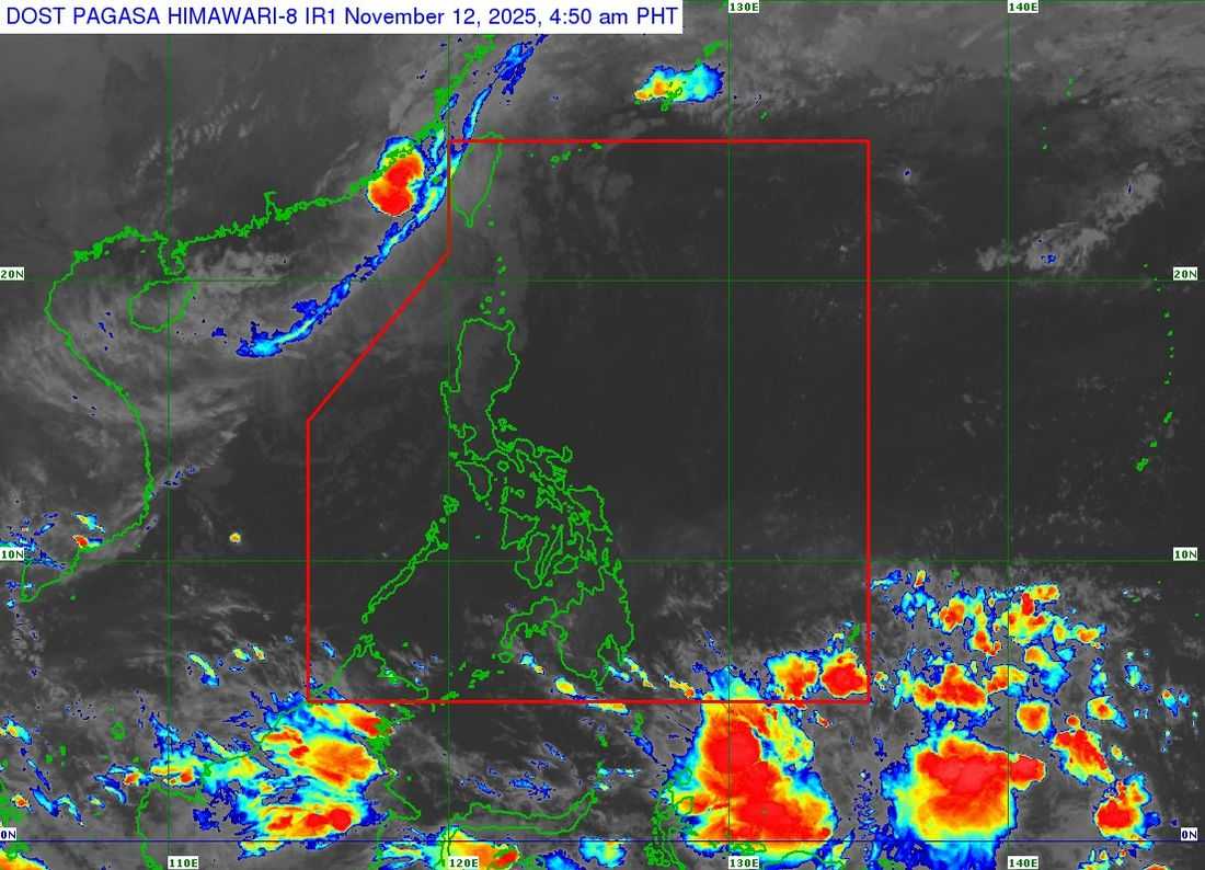
Severe Tropical Storm Uwan (international name: Fung-Wong) may re-enter the Philippine Area of Responsibility (PAR) on Wednesday, November 12, according to the Philippine Atmospheric, Geophysical and Astronomical Services Administration (PAGASA).
As of 4 a.m., the storm’s center was estimated 280 kilometers west of Itbayat, Batanes, with maximum sustained winds of 95 kilometers per hour (kph) and gustiness of up to 115 kph.
PAGASA said Uwan has maintained its strength while moving slowly north-northeastward over the seas south of Taiwan.
The weather bureau said Uwan is expected to re-enter the PAR by Wednesday morning or afternoon before making landfall over the southwestern coast of Taiwan later in the day. It is forecast to weaken into a tropical storm after landfall and dissipate into a remnant low by Friday, November 14.
At least seven areas in Luzon remain under Tropical Cyclone Wind Signal No. 1 due to the storm’s outer rainbands:
-
Batanes
-
Babuyan Islands
-
Calayan Island
-
Dalupiri Island
-
Fuga Island
-
Northwestern portion of Ilocos Norte
-
Burgos
-
Bangui
-
Pasuquin
-
Dumalneg
-
Pagudpud
PAGASA advised residents to stay alert for possible heavy rainfall, flash floods, and landslides, especially in low-lying and mountainous areas.
Local governments and disaster response offices have been urged to take precautionary measures and monitor official weather updates and advisories from PAGASA.