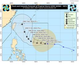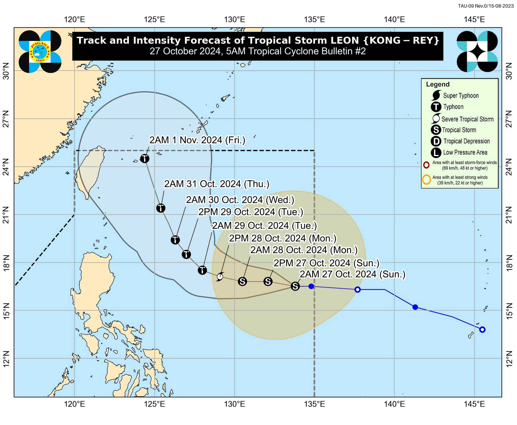

Tropical Storm Leon (Kong-rey) maintains its strength as it moves westward over the Philippine Sea, PAGASA reported early Sunday, October 27.
In its 5 AM bulletin, the weather bureau reported that Tropical Storm Leon is located 1,195 km east of Central Luzon, with maximum sustained winds of 65 km/h and gusts reaching up to 80 km/h.
Leon is not expected to directly impact the country’s weather conditions within the forecast period of Sunday morning.
However, Leon's outer rainbands may impact Extreme Northern Luzon, depending on its proximity during recurvature over the Philippine Sea.
Leon may also continue to reinforce the Southwesterly Windflow that Severe Tropical Storm Kristine first triggered, potentially affecting the western areas of Southern Luzon, Visayas, and Mindanao over the next few days.
It is also expected to continue moving westward until early tomorrow (October 28), before shifting west-northwest from tomorrow morning through early Tuesday (October 29).
The tropical cyclone is forecast to gradually strengthen over the next 24 hours, potentially reaching severe tropical storm status by early Monday morning.
Additionally, a period of rapid intensification is expected from tomorrow through Wednesday (October 30).
