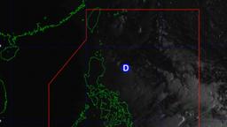
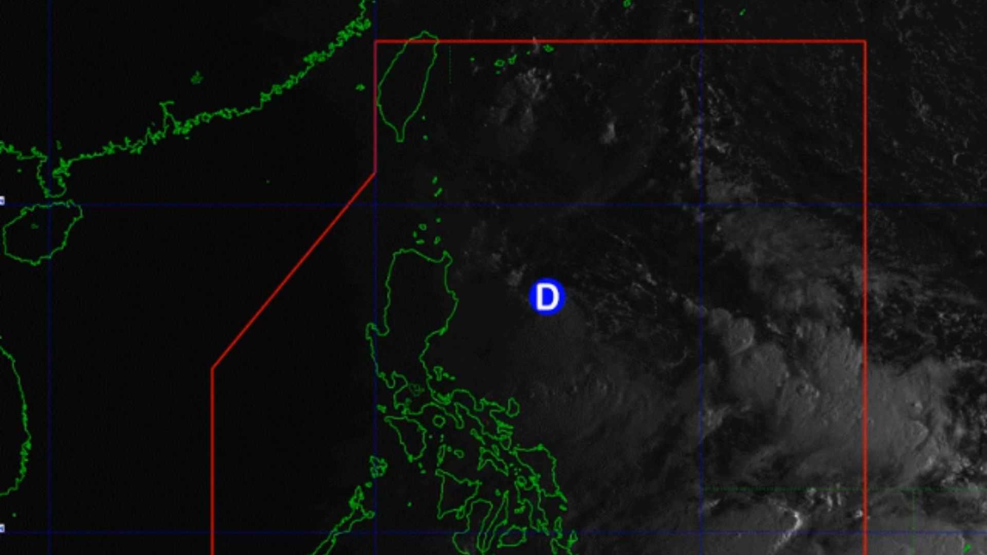
The Low Pressure Area (LPA) located at the East of Aurora has developed into Tropical Depression named "Gener", according to PAGASA.
"At 5:00 AM today, Low Pressure Area (LPA) 09d developed into Tropical Depression #GenerPH. Tropical Cyclone Bulletins will be issued beginning at 8:00 AM today," DOST-PAGASA said in their weather update early Monday.
The center of Tropical Depression Gener was estimated to be 315 km east-northeast of Casiguran, Aurora, moving west northwestward at 10 km/h. It has maximum sustained winds of 45 km/h near the center, gusts reaching up to 55 km/h, and a central pressure of 998 hPa.
Gener is expected to move generally west to west-southwest until Wednesday afternoon, after which it will turn west-northwest and then northwest for the remainder of the forecast period.
It is expected to make landfall in either Isabela or Aurora within the next 24 hours. Additionally, Gener may exit the Philippine Area of Responsibility (PAR) by Wednesday.
Gener is expected to experience limited intensification over the next two days but is projected to reach Tropical Storm strength by Wednesday after emerging over the West Philippine Sea.
It is anticipated to maintain Tropical Storm intensity before weakening to a Tropical Depression just before making landfall in Hainan, China.
Tropical Cyclone Wind Signals (TCWS) in Effect
The wind threat is categorized as strong, with a warning lead time of 36 hours. Wind speeds are expected to range from 39 to 61 km/h, corresponding to Beaufort scale levels 6 to 7. The potential impacts of these winds are minimal to minor, posing a limited threat to life and property.
TCWS No. 1 is raised to the following areas:
- the eastern and central portions of Mainland Cagayan
- Isabela
- Quirino
- the eastern portion of Nueva Vizcaya
- the eastern and southern portions of Apayao
- Kalinga
- the eastern and central portions of Mountain Province
- Ifugao
- Aurora
- the eastern portion of Nueva Ecija
- northern portion of Mainland Quezon including Polillo Islands
"Persons living in areas identified to be highly or very highly susceptible to these hazards are advised to follow evacuation and other instructions from local officials," the weather bureau stated in their recent bulletin.
"For heavy rainfall warnings, thunderstorm/rainfall advisories, and other severe weather information specific to your area, please monitor products issued by your local PAGASA Regional Services Division," PAGASA added.
The next update on the tropical cyclone will be provided at 11:00 AM today.