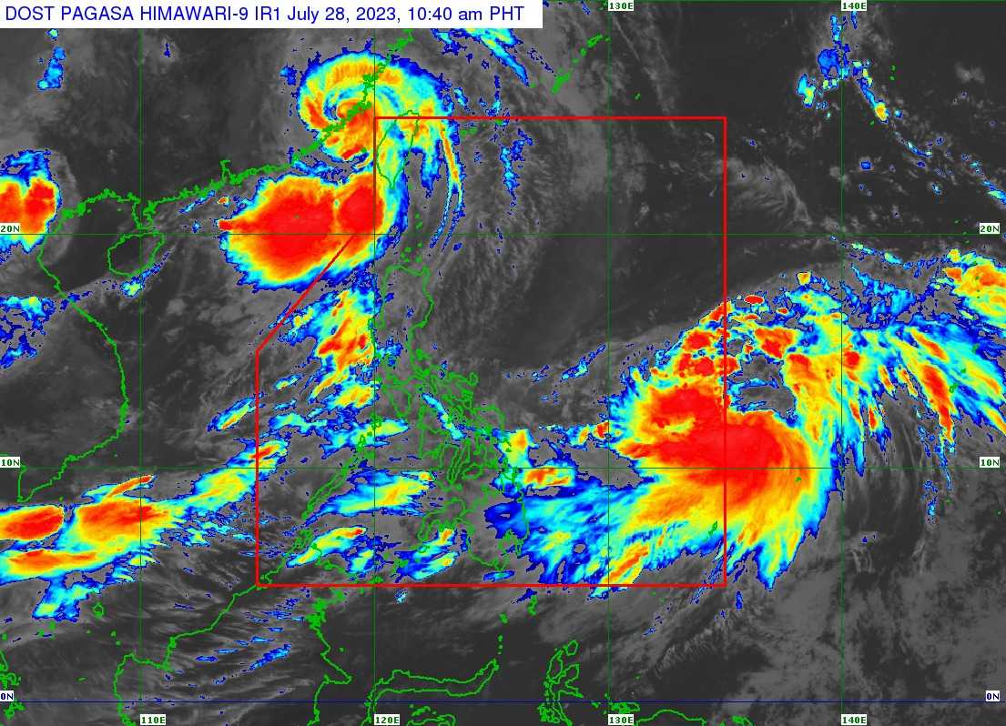

Tropical storm Khanun has maintained its strength outside the Philippine Area of Responsibility (PAR) east of Eastern Visayas, PAGASA said in its latest bulletin issued on Friday, July 28.
According to the state weather bureau, Khanun was last located 1,345 kilometers East of Eastern Visayas, packing maximum sustained winds of 65 kilometers per hour (kph) near the center and gustiness of up to 80 kph.
It is accelerating North Northwestward at the speed of 25 kph.
PAGASA forecasted that Khanun will develop into a typhoon by Saturday, July 28, or Sunday, July 29, and it will continuously intensify until next week.
The state weather bureau said once Khanun entered the premises of the country, it will be called Falcon.
"The hoisting of wind signal over any portion of the country due to this tropical cyclone is unlikely," it noted.
PAGASA said Luzon and Visayas will experience monsoon rains by Saturday or Sunday due to the Southwest Monsoon that will be enhanced by Khanun.
"However, the magnitude, extent, and timing of monsoon enhancement and resulting rainfall may still change due to dependence of Southwest Monsoon enhancement on the intensity and movement of this tropical cyclone," it added.
Khanun has developed into a Tropical storm from Tropical Depression on Friday morning.
