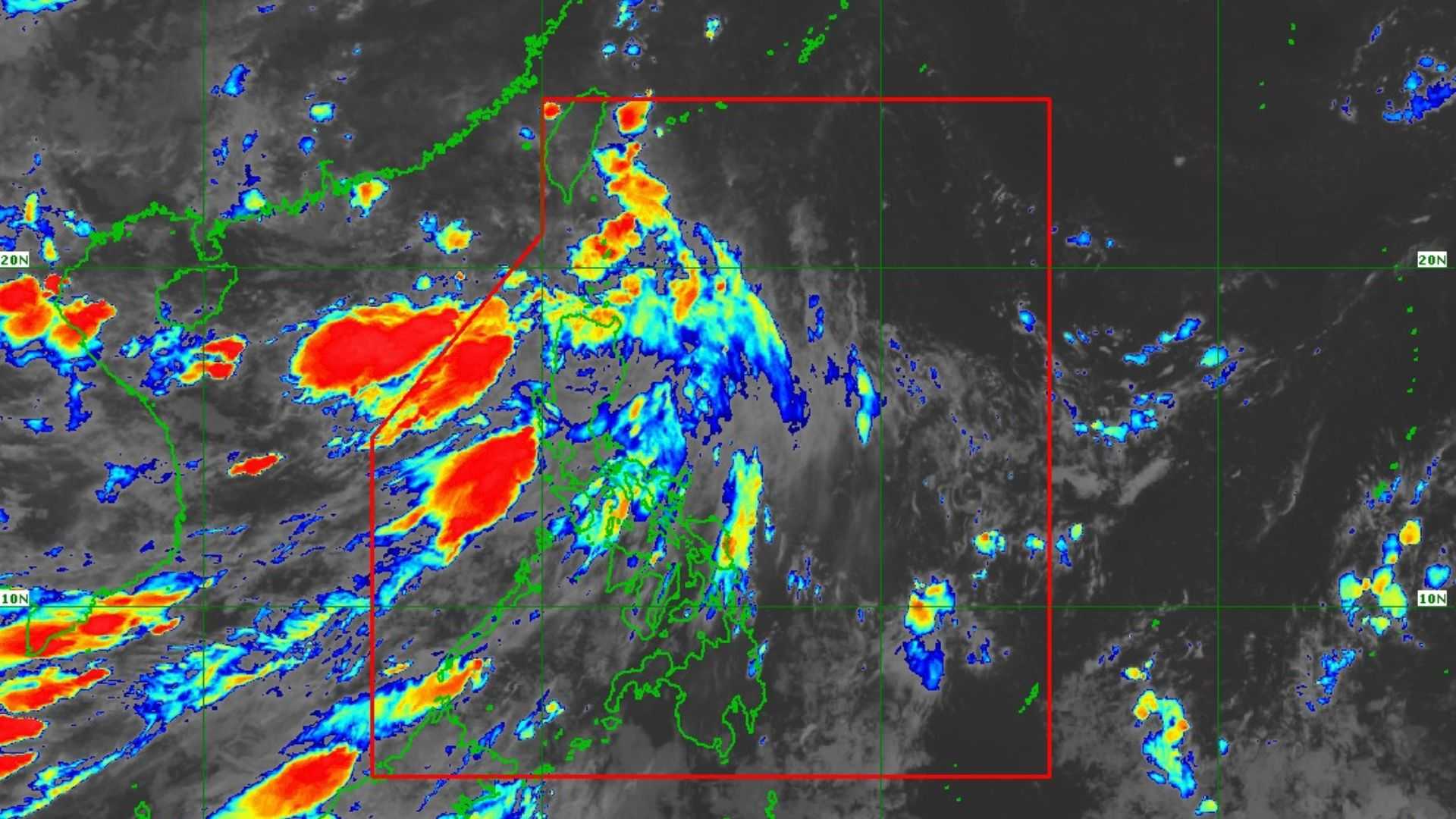

At 2:30 a.m. today, Tropical Depression Igme exited the Philippine Area of Responsibility (PAR), according to PAGASA’s weather bulletin released early Saturday.
The latest location as of 4 AM is approximately 520 km North-Northeast of Itbayat, Batanes. It has maximum sustained winds of 55 km/h, with gusts reaching up to 70 km/h, and is continuing to move northwest at a speed of 35 km/h away from the country.
TD Igme no longer has any direct effects on the country. However, based on the latest satellite images from the weather bureau, thick clouds will persist over a large part of Luzon and the Visayas due to the ongoing effects of the southwest monsoon (habagat).
Today, a significant portion of Luzon, in addition to Western Visayas and the Samar provinces, is likely to experience overcast skies, with scattered rain showers.
Habagat will greatly affect parts of extreme northern Luzon, including Batanes, the Babuyan Islands, as well as the western sections of northern and central Luzon: in the Ilocos region, the province of Zambales, and Bataan.
"Aasahan natin sa mga lugar na nabanggit ang mataas na tyansa ng mga malalakas at tuloy-tuloy na pag-ulan ngayong araw," weather specialist Dan Villamil said.
In the remaining parts of the Visayas and throughout Mindanao, generally fair weather is expected today, except for the possibility of isolated rain showers or the usual thunderstorms occurring in the afternoon through the evening.
While TD Igme is outside PAR, it will continue to move generally west-northwest for the remainder of the day. By tomorrow, its movement is expected to shift to west-southwest.
Igme is expected to maintain its strength as a Tropical Depression today; however, by tomorrow, it will likely weaken into a Low Pressure Area (LPA).
The tropical cyclone signals that were raised in several areas have also been lifted.
