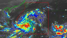
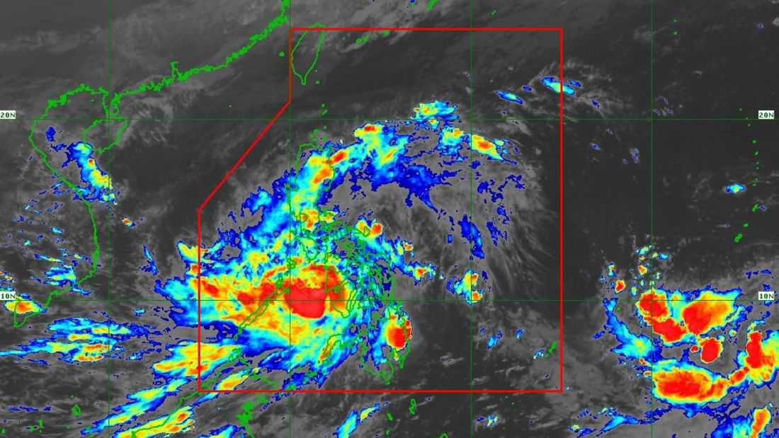
Typhoon “Tino” maintains its strength and is about to emerge over the Sulu Sea, the PAGASA said.
As of 5:00 PM on Tuesday, November 4, the state weather bureau said that the center of “Tino” was located in the vicinity of Patnongon, Antique. It has maximum sustained winds of 130 km/h near the center, gustiness of up to 180 km/h, and a central pressure of 970 hPa.
It is currently moving northwestward at 15 km/h.
Tropical Cyclone Wind Signals (TCWS) 1 to 4 are currently in effect in several areas in Luzon and Visayas.
The typhoon will emerge at the Sulu Sea on Tuesday afternoon or evening, and is forecast to traverse the northern Palawan area by early Wednesday. Moreover, it is expected to emerge over the West Philippine Sea (WPS) the same day, and may exit the Philippine Area of Responsibility (PAR) by Wednesday evening or Thursday morning.
“Tino is forecast to steadily re-intensify over the next days and may reach its peak intensity while over the WPS,” the PAGASA said.