
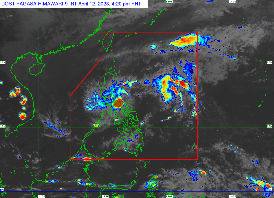
The center of Tropical Depression Amang made landfall in the vicinity of Lagonoy, Camarines Sur, at around 4:00 PM, Wednesday, April 12, according to the latest report of Philippine Atmospheric, Geophysical, and Astronomical Services Administration (PAGASA).
TD Amang has maximum sustained winds of 45 km/h near the center, gustiness of up to 55 km/h, and a central pressure of 1004 hPa. It is slowly moving northwestward, PAGASA's 5:00 PM bulletin said.
PAGASA hoisted Tropical Cyclone Wind Signal No. 1 in the following areas:
Luzon
- Catanduanes
- Sorsogon (City of Sorsogon, Pilar, Castilla, Donsol, Prieto Diaz)
- Albay
- Camarines Sur
- Camarines Norte
- Laguna (Cavinti, Lumban, Kalayaan, Paete, Pakil, Pangil, Siniloan, Famy, Santa Maria, Mabitac)
- Aurora
- Quezon including Pollilo Islands
- Rizal (Tanay, Pililla, Rodriguez, Baras, City of Antipolo)
- Bulacan (Norzagaray, Doña Remedios Trinidad)
- Nueva Ecija (Gabaldon, Bongabon, Laur, General Tinio)
Areas under Signal No. 1 may experience strong winds associated with the tropical depression which may cause minimal to minor impacts on life and property.
The tropical depression is forecast to lose strength and become a low pressure area by tomorrow, or maybe even earlier. This weakening can be attributed to a combination of factors, including its interaction with land, the intrusion of dry air, and an increase in vertical wind shear.
It is anticipated to move towards the northwest direction within the next 24 hours – predicted to pass through the eastern parts of Camarines Sur, then traverse the eastern coast of Camarines provinces and Quezon, and could potentially pass near or over the Polillo Islands.
However, since the depression is currently weak and disorganized, there is a possibility of significant alterations in its predicted track in the forthcoming updates.
Over the next day, the eastern and southern seaboards of Southern Luzon (1.5 to 3.5 m) and the eastern seaboard of Central Luzon (1.5 to 2.8 m) may have moderate to rough seas.
People who navigate small boats are recommended to be cautious and take preventative measures, and if feasible, to avoid going out to sea during these conditions.