Tropical Cyclone Wind Signal (TCWS) Signal No. 4 has been hoisted over the Northeastern portion of mainland Cagayan as Super Typhoon (ST) Egay has maintained its strength and continues to threaten Northern Luzon on Tuesday, July 25.
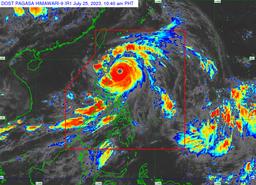
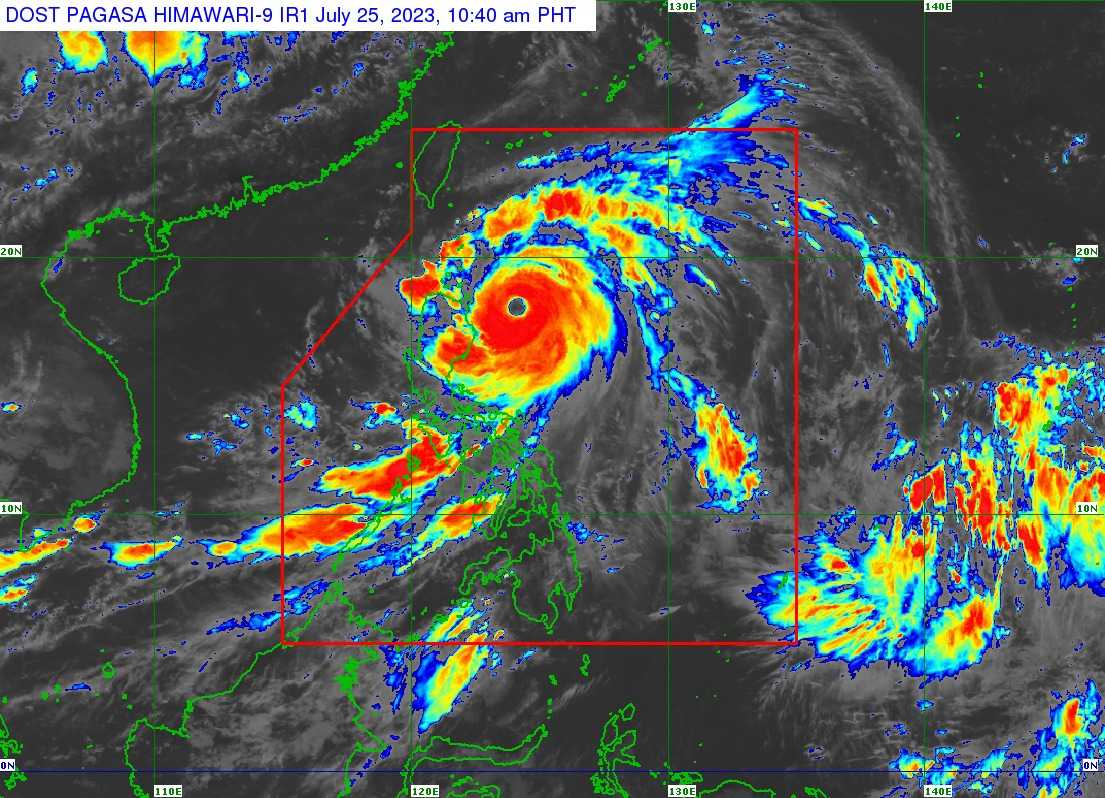
In its 11 AM bulletin, PAGASA said Super Typhoon Egay was last spotted 270 kilometers East of Tuguegarao City, Cagayan with maximum sustained winds of 185 kilometers per hour (kph) near the center, gustiness of up to 230 kPh, and central pressure of 925 hPa.
Super Typhoon Egay is accelerating northwestward at 15 kPh.
According to the state weather bureau's forecast, Egay will turn generally west-northwestward, cross the Luzon Strait, and may reach Babuyan Island or the northeastern mainland Cagayan area by Tuesday evening or Wednesday morning.
"Slight northward or southward shift in this segment of the track (but within the forecast confidence cone) may result in a landfall or close approach over northern mainland Cagayan or Batanes," it added.
TCWS No. 4 is hoisted in:
- The northeastern portion of mainland Cagayan (Santa Ana)
Meanwhile, the following areas remain under TCWS No. 3:
- Babuyan Islands
- the northern and eastern portions of mainland Cagayan (Gonzaga, Peñablanca, Gattaran, Lal-Lo, Alcala, Santa Teresita, Buguey, Aparri, Camalaniugan, Ballesteros, Allacapan, Abulug, Claveria, Pamplona, Sanchez-Mira, Santa Praxedes, Lasam, Baggao, Amulung, Iguig)
- the northeastern portion of Isabela (Divilacan, Maconacon, Palanan)
- the northern portion of Apayao (Calanasan, Luna, Santa Marcela, Flora, Pudtol)
TCWS No. 2 is up in the areas of:
- Batanes
- The rest of mainland Cagayan
- The rest of Isabela, Quirino
- The northern portion of Nueva Vizcaya (Kasibu, Quezon, Diadi, Bagabag, Ambaguio, Villaverde, Solano, Bayombong)
- The rest of Apayao
- Kalinga
- Abra
- Mountain Province
- Ifugao
- The northern portion of Benguet (Bakun, Mankayan, Buguias, Kabayan, Kibungan)
- Ilocos Norte
- Ilocos Sur
- The northern and central portions of Aurora (Dilasag, Casiguran, Dinalungan, Dipaculao)
The following areas are placed under TCWS No. 1:
- La Union
- Pangasinan
- the rest of Benguet
- the rest of Nueva Vizcaya
- the rest of Aurora
- Zambales
- Bataan
- Nueva Ecija
- Tarlac
- Pampanga
- Bulacan
- Metro Manila
- Rizal
- Laguna
- Cavite
- Batangas
- Quezon
- Marinduque
- Camarines Norte
- Camarines Sur
- Catanduanes
- Albay
- Sorsogon
- the northern portion of Masbate (Uson, Dimasalang, City of Masbate, Mobo, Palanas, Aroroy, Baleno) including Burias and Ticao Islands
- Gale warning remains in several coastal waters along the seaboards of Luzon, Visayas, and Northeastern Mindanao.
The state weather bureau said the super typhoon and enhanced southwest monsoon or habagat will continue to bring gusty conditions and occasional monsoon rains over the western portions of Central Luzon, Southern Luzon, and Visayas in the next three days.
Super Typhoon Egay is expected to exit the Philippine Area of Responsibility (PAR) on Thursday morning.
"Outside the PAR region, EGAY will cross the Taiwan Strait and make landfall in the vicinity of Fujian, China on Friday morning," PAGASA added.