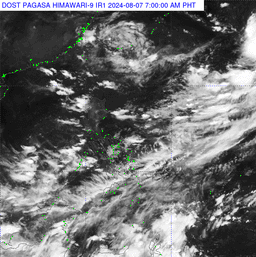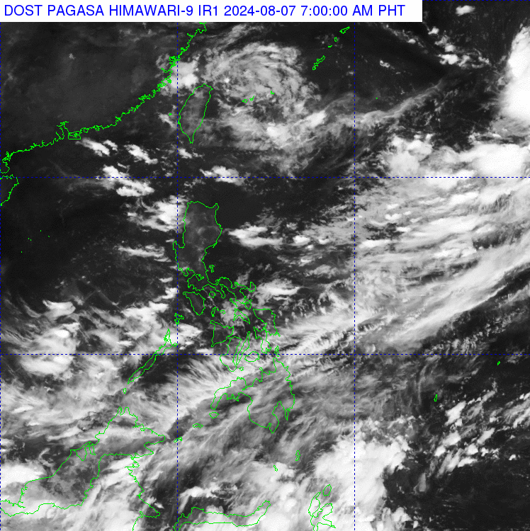

The Philippine Atmospheric, Geophysical, and Astronomical Services Administration (PAGASA) announced on Wednesday that it is monitoring a low-pressure area (LPA) within the Philippine Area of Responsibility (PAR).
According to weather forecaster Obet Badrina on "Magandang Umaga Pilipinas," the LPA has developed into a typhoon and was located 500 kilometers northeast of Itbayat, Batanes.
However, PAGASA stated that the typhoon is not expected to directly affect the country at this time.
Badrina also mentioned that another LPA has been spotted outside the PAR, located 2,005 kilometers east-northeast of extreme Northern Luzon. This LPA has maximum sustained winds of 55 kilometers per hour and gustiness of up to 70 kilometers per hour, with almost stationary movement.
Today, the Southwest Monsoon, or Habagat, will bring cloudy skies and scattered rains over Central and Southern Luzon, including the Visayas.
The rest of the country may experience partly cloudy to cloudy skies with isolated rain showers or thunderstorms due to localized thunderstorms.
#LiveSaDZRH: Obet Badrina, @dost_pagasa. #MagandangUmagaPilipinas
— DZRH NEWS (@dzrhnews) August 6, 2024
WATCH: https://t.co/25us6C6iiZ pic.twitter.com/I4SrSnN88f
