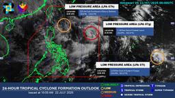
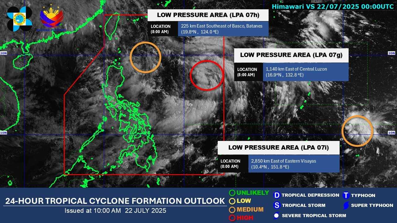
The Philippine Atmospheric, Geophysical and Astronomical Services Administration (PAGASA) is currently monitoring three low-pressure areas (LPAs) on Tuesday — two inside the Philippine Area of Responsibility (PAR) and one outside.
Based on its 10 a.m. monitoring, PAGASA reported that the LPA last spotted 1,140 km east of Central Luzon now has a high potential of developing into a tropical depression within the next 24 hours.
Meanwhile, the LPA located 225 km east-southeast of Basco, Batanes has a medium chance of developing into a tropical depression within the same period.
According to PAGASA, Metro Manila, CALABARZON, Zambales, Bataan, Pampanga, Bulacan, and Occidental Mindoro may experience rains on Tuesday due to the southwest monsoon.
Pangasinan, Benguet, Tarlac, Marinduque, and Oriental Mindoro may also experience occasional rains due to the southwest monsoon.
Cloudy skies will prevail over the Cagayan Valley region due to the trough of the LPA.
Meanwhile, the Visayas, the rest of Luzon, Zamboanga Peninsula, BARMM, SOCCSKSARGEN, and Davao Region will experience cloudy skies with scattered rain showers and thunderstorms, also brought by the southwest monsoon.
The southwest monsoon will likewise bring partly cloudy to cloudy skies with isolated rain showers or thunderstorms to the rest of Mindanao.
PAGASA advised the public to continue monitoring updates from DOST-PAGASA.