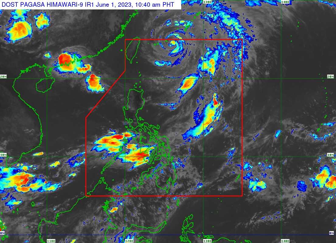

Tropical Cyclone Warning Signal over the country has been lifted on Thursday, June 1 as Typhoon Betty weakens and is expected to exit the Philippine Area of Responsibility (PAR), according to the state weather bureau PAGASA.
In its 11 AM advisory, PAGASA said Betty is forecasted to exit PAR by Thursday afternoon.
Betty, a former super typhoon with an international name Mawar was last located 570 northeast of Itbayat, Batanes, packing maximum sustained winds of 100 kilometers per hour near the center and gustiness of up to 125 kph.
It is moving north northeastward at 10 kph.
The Southwest Monsoon enhanced by Betty will bring occasional to frequent wind gusts over northern Cagayan including Babuyan Islands, Ilocos Region, Cordillera Administrative Region, Central Luzon, Metro Manila, CALABARZON, Bicol Region, MIMAROPA, Western Visayas, Northern Samar and the northern portion of Samar, PAGASA said.
Due to Betty and the Southwest Monsoon, a marine gale warning is still in effect over the northern seaboards of Northern Luzon, the eastern seaboard of Luzon, and the western seaboard of Southern Luzon, PAGASA said.
Betty is expected to gradually accelerate northward or north northeastward until Thursday afternoon before turning northeastward or east northeastward over the waters near the Ryukyu Islands in Japan.
