
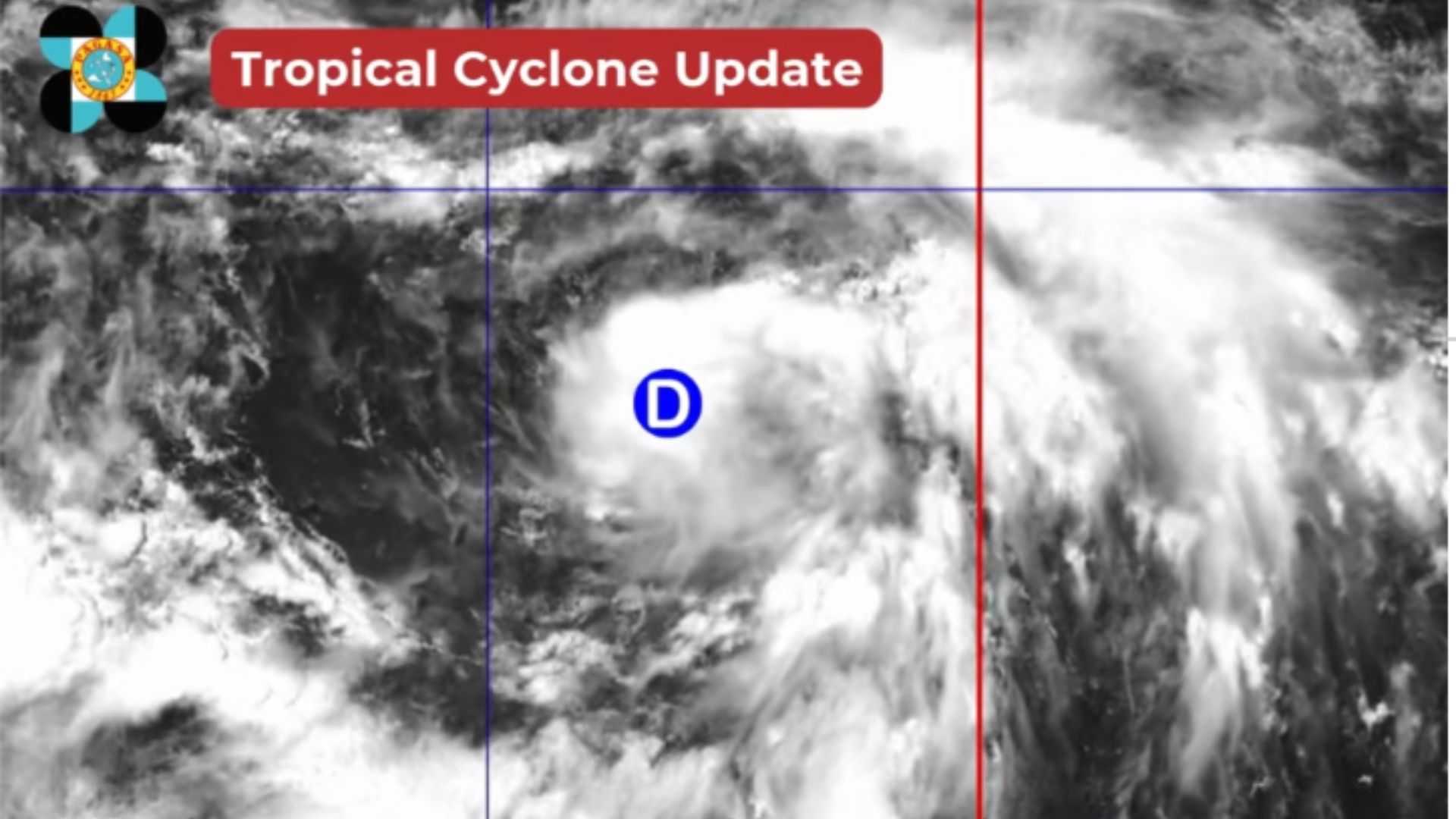
The low pressure area (LPA) east of Aurora has intensified into tropical depression “Dante,” the PAGASA said.
At 2:00 PM on Tuesday, July 23, the state weather bureau said in its tropical cyclone update that the LPA developed into tropical depression “Dante.” It was monitored inside the Philippine Area of Responsibility (PAR) with a “high” potential of developing into a tropical depression within the next 24 hours.
The PAGASA last spotted tropical depression “Dante” at 1,140 km east of Central Luzon.
Anna Clauren-Jorda from PAGASA said in an exclusive interview at DZRH on Tuesday afternoon that tropical depression “Dante” is forecasted to move north-northwestward and away from the country’s landmass.
“‘Yung hangin po hindi masyado na direct dahil dito kay “Dante” pero yung habagat po dahil nga mas lumakas pa ito at isang ganap na bagyo na ay mas i-eenhance po nito yung southwest monsoon o habagat na magpapa-ulan po sa malaking bahagi ng Luzon,” Clauren-Jorda explained. “Including Metro Manila at magadadala rin po ito ng bugso-bugso na ulan at malakas na bugso ng hangin dahil po ito sa habagat at hindi po dahil kay “Dante.”
Intermittent rains are also expected to persist in Metro Manila, CALABARZON, and Central Luzon this afternoon, evening, and on early Wednesday.
Although the said areas are experiencing sporadic rain, the state weather bureau cautioned the public about possible landslides and flooding.
Meanwhile, another LPA located 225 km east-southeast of Basco, Batanes, is being monitored inside the PAR and has a “medium” potential of developing into a tropical depression within the same period.