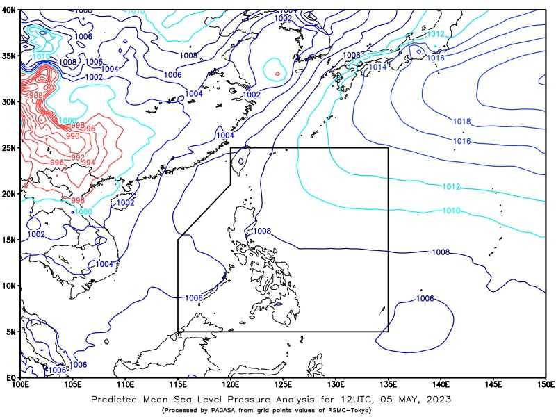
A low-pressure area has been spotted outside the Philippine Area of Responsibility (PAR) and is expected to become a tropical cyclone in the next 48 hours, according to Philippine Atmospheric, Geophysical and Astronomical Services Administration (PAGASA)
In its 4 am bulletin on Saturday, May 6, the state weather bureau said the LPA was last spotted 115 kilometers West of Puerto Princesa City in the province of Palawan.
Once developed into a Tropical Cyclone, PAGASA said it will be named "Betty", the second storm this year amid the threat of an El Niño phenomenon.
According to the state weather bureau, several areas in Palawan will experience cloudy skies with scattered rain showers and thunderstorms.
Meanwhile, Metro Manila and the rest of the country will have partly cloudy to cloudy skies with isolated rain showers or thunderstorms due to Easterlies and the Intertropical Convergence Zone (ITCZ).