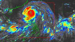
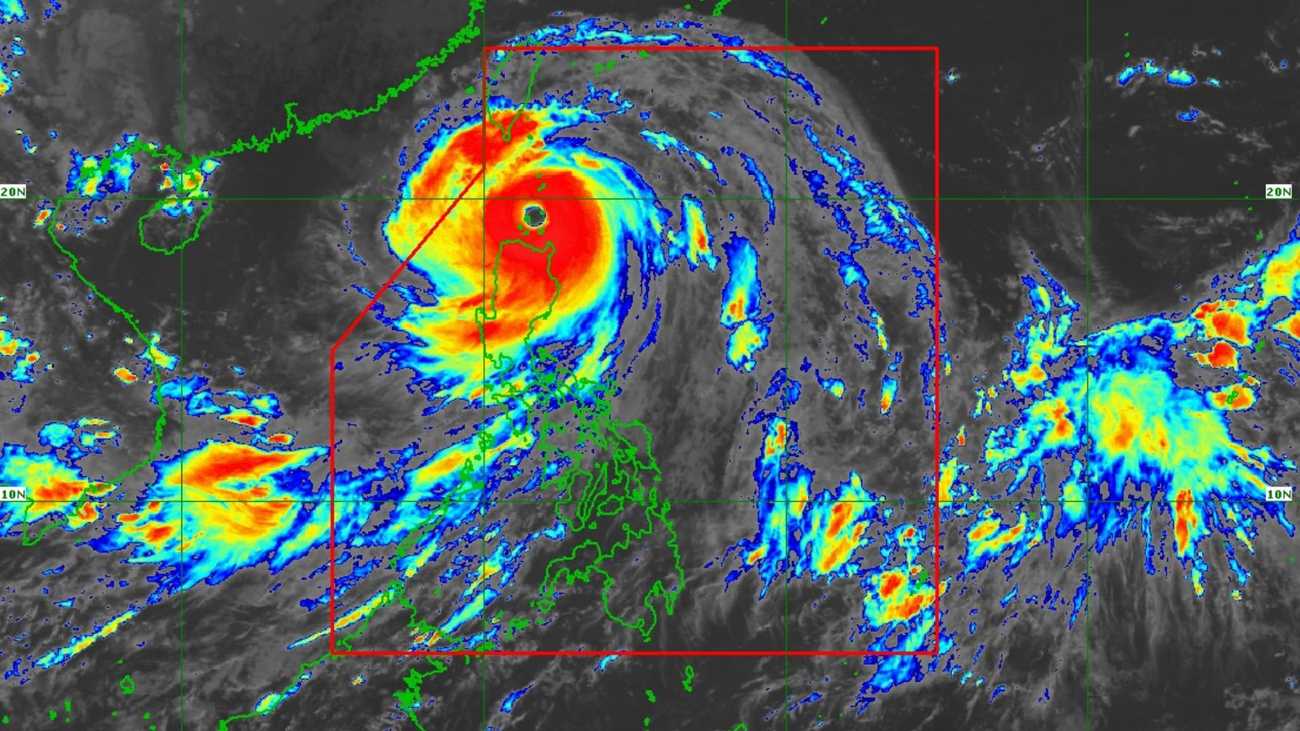
‘Life-threatening conditions’ loom over Northern Luzon as Super Typhoon Nando approaches the Babuyan Islands, the PAGASA said.
As of 2:00 PM on Monday, September 22, the state weather bureau warned of a high-risk, life-threatening storm surge with peak heights exceeding 3.0 meters in parts of Northern Luzon within the next 24 hours.
According to its tropical cyclone bulletin, Nando has maximum sustained winds of 215 km/h near the center, gustiness of up to 295 km/h, and a central pressure of 910 hPa. Presently, the super typhoon is moving westward at 25 km/h.
However, the PAGASA noted that ‘strong to typhoon-force winds’ extend outwards up to 650 km from the center.
Meanwhile, tropical cyclone wind signals (TCWS) one through five are in effect in several areas.
As of 3:19 PM, Charmagne Varilla of PAGASA said in an interview at DZRH Operation Tulong that Nando may make landfall at any moment on Monday afternoon. The super typhoon will bring heavy rain showers in parts of Luzon, particularly in CALABARZON.
Rain is expected to persist until Monday evening and will continue until early Tuesday.
The state weather bureau’s forecast track indicated that Nando may exit the Philippine Area of Responsibility (PAR) by Tuesday morning, September 23.
Meanwhile, Varilla said that a low-pressure area (LPA) is being monitored and may enter the PAR around Tuesday evening (September 23) or early Wednesday (September 24).
As of 3:00 PM, the PAGASA announced that Nando made its landfall at Panuitan Island in Calayan, Cagayan.