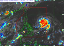
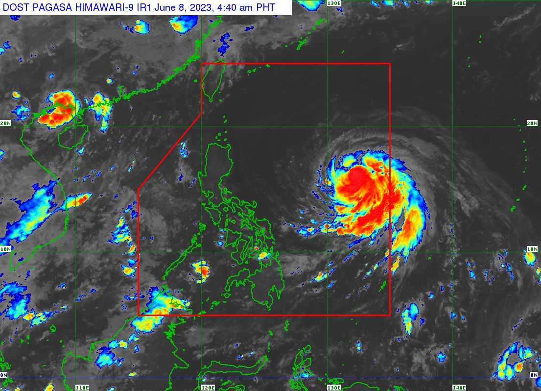
Severe Tropical Storm Chedeng has maintained its strength as it accelerates over the Philippine sea East of Central Luzon, the state weather bureau said on Thursday.
In its latest tropical cyclone bulletin issued at 5 AM, the Philippine Atmospheric, Geophysical and Astronomical Services Administration (PAGASA) said STS Chedeng was last located 1,090 kilometers East of Central Luzon and is moving west-northwestward at the speed of 10 kilometers per hour (km/h).
It has maximum sustained winds of 95 km/h near the center, gustiness of up to 115 km/h, and a central pressure of 992 hPa.
According to PAGASA, its forecast showed that Chedeng will remain far from the country's landmass.
"It is forecast to move generally west northwestward to northwestward today through tomorrow afternoon before turning northward for the rest of tomorrow. During this period, CHEDENG may become slow-moving," it said.
"On Saturday, this tropical cyclone will begin accelerating generally north northeastward or northeastward," It added.
Heavy rainfall outlook, severe winds
In the next three to five days, PAGASA said Chedeng will unlikely to directly bring heavy rainfall over any portion of the country, but it may enhance the Southwest Monsoon and intensify monsoon rains.
"As such, the public is advised to continue monitoring for updates regarding the possible enhancement of the Southwest Monsoon. A Weather Advisory will be issued by PAGASA should there be an increasing chance of monsoon heavy rainfall within the next three days," the state weather bureau said.
PAGASA said raising tropical cyclone severe winds is also unlikely at this time.
The state weather bureau said Chedeng may bring gusty conditions over Visayas, Romblon, Occidental Mindoro, the northern portion of Palawan including Kalayaan, Calamian, and Cuyo Islands, Surigao del Norte, Dinagat Islands, and Camiguin on Friday.
Meanwhile, gusty conditions may also be experienced in Visayas, CALABARZON, MIMAROPA, Bicol Region, Camiguin, and Dinagat Islands on Saturday.