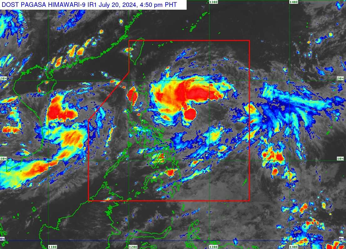
The Philippine Atmospheric, Geophysical and Astronomical Services Administration’s (PAGASA) track and intensity forecast reported on Saturday that Tropical Cyclone Carina intensified into a tropical storm.
Heavy rains directly caused by Carina remain unlikely over the next three days. The Southwest Monsoon could also be enhanced by Carina and the tropical storm, formerly Butchoy, bringing moderate to heavy rainfall over the western part of Luzon.
The following areas may experience gusty conditions, especially those situated in coastal and upland zones exposed to winds:
Saturday and Sunday (July 20 to 21)
- Kalayaan Islands
Monday (July 22)
- CALABARZON
- MIMAROPA
- Bicol Region
- Western Visayas
- Zambales
- Bataan
- Metro Manila
Moreover, mariners of motor bancas and similarly-sized vessels are advised to take precautionary measures when venturing out to sea, as coastal waters along the eastern seaboard of the country will moderately rise.
Carina is expected to steadily intensify and reach severe tropical storm category by Monday at a faster rate. By Tuesday, it would reach the typhoon category. However, the possibility of rapid intensification within that period is not yet ruled out by PAGASA.
The tropical storm is forecasted to move northwestward until Sunday while gradually decelerating. It will eventually turn northward on Monday before accelerating northward or northwestward over the Philippine Sea towards the Ryukyu archipelago from Tuesday onwards.