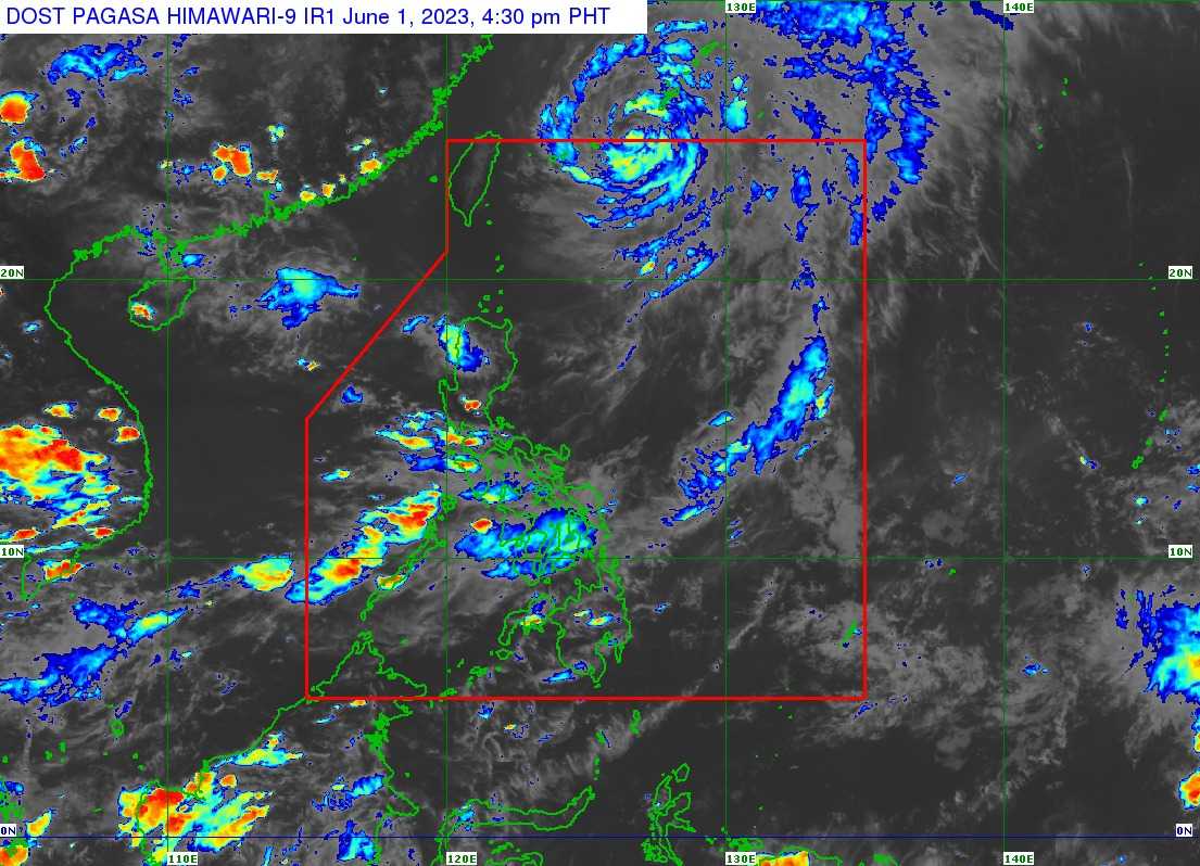

Severe tropical storm Betty has left the Philippine Area of Responsibility (PAR) on Thursday afternoon.
In its 5 PM bulletin, the Philippine Atmospheric Geophysical and Astronomical Services Administration (PAGASA) said Betty was last spotted 685 kilometers northeast of Itbayat, Batanes.
It has maximum sustained winds of 95 kilometers per hour near the center, gustiness of up to 115 km/h, and a central pressure of 985 hPa as it moves north-northeastward with a speed of 15 km/h.
"Severe Tropical Storm BETTY will continue to gradually accelerate northeastward until tomorrow morning before turning east-northeastward over the waters near the Ryukyu Islands. Outside the PAR, the severe tropical storm may make landfall or pass very close to Okinawa Island tonight or tomorrow early morning," PAGASA said.
The state weather bureau has lifted Tropical Cyclone Wind Signals (TCWS) No. 1 in Batanes.
Betty will be downgraded further to tropical storm category on Saturday, June 3.
Meanwhile, PAGASA noted that northern Cagayan including Babuyan Islands, Ilocos Region, Cordillera Administrative Region, Central Luzon, Metro Manila, Calabarzon, Bicol Region, MIMAROPA, Western Visayas, Northern Samar and the northern portion of Samar will still experience occasional to frequent wind gusts as caused by the enhanced Southwest Monsoon.
But it said that a marine gale warning is still in effect in the northern seaboards of Northern Luzon, the eastern seaboard of Luzon, and the western seaboard of Southern Luzon.
