Batanes and Northeastern Babuyan Islands are now experiencing violent winds as Typhoon 'Julian' moves over the Balintang Channel, PAGASA reported on Monday.
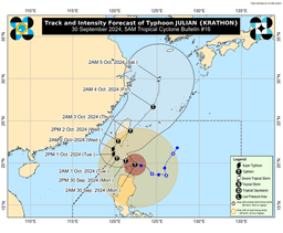
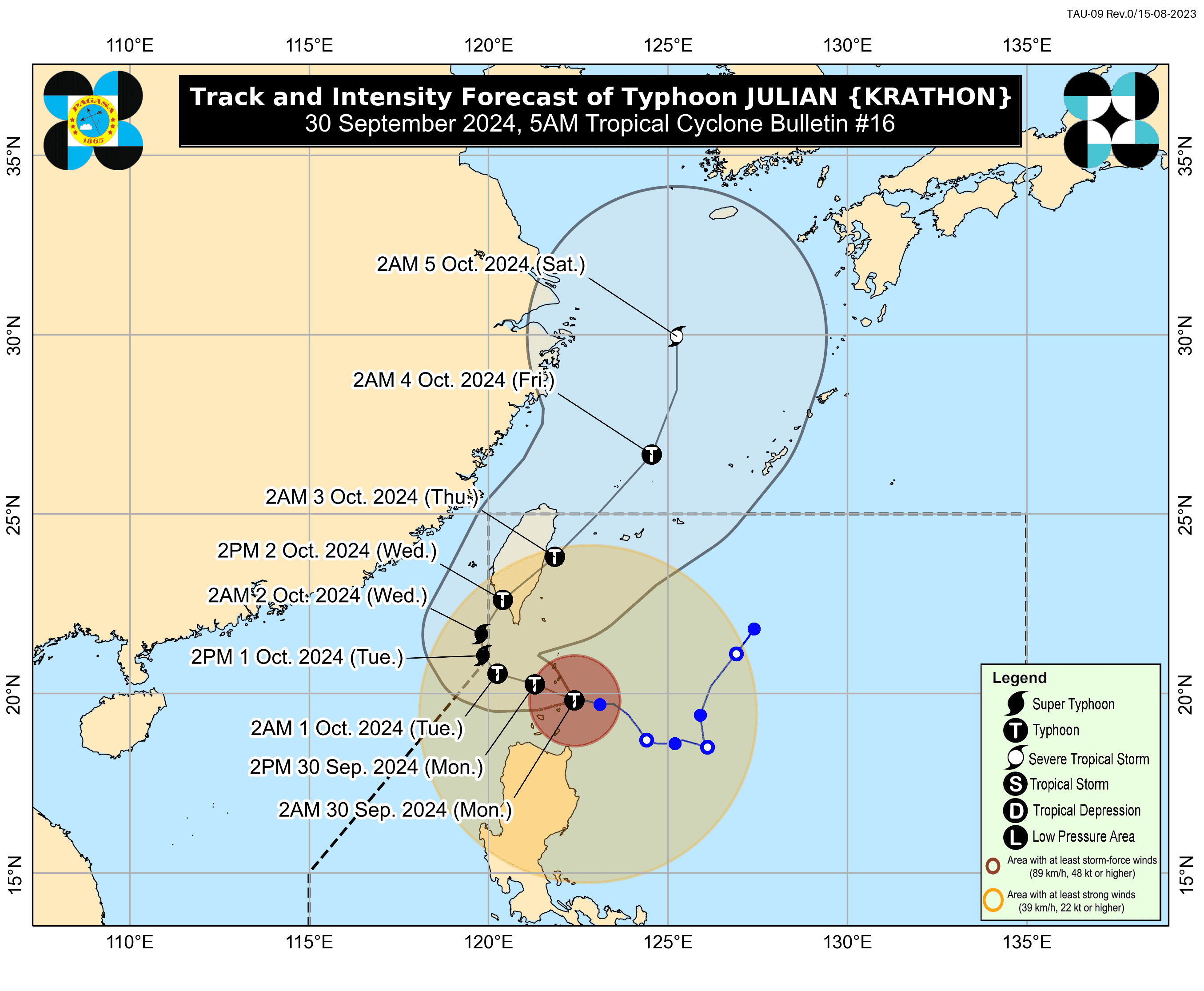
According to PAGASA’s 5 a.m. bulletin, the eye of Typhoon Julian was located over the coastal waters of Balintang Island, Calayan, Cagayan. It is moving westward at 10 kilometers per hour, with maximum sustained winds of 155 km/h near the center and gusts of up to 190 km/h.
"The peak of destructive typhoon-force winds will be felt in areas under Wind Signal No. 4 from this morning until the afternoon," PAGASA stated.
The weather bureau added that wind signals serve as warnings to the public about the overall wind threat from the tropical cyclone. Winds may be stronger in coastal and mountainous areas exposed to the wind, while sheltered areas may experience weaker winds.
Tropical Cyclone Wind Signal (TCWS) No. 4 has been raised over Batanes and the northern portion of Babuyan Islands, where "very heavy damage to high-risk structures" is expected.
TCWS No. 3 is in effect for the rest of Babuyan Islands and the northeastern portion of mainland Cagayan, including Santa Ana.
TCWS No. 2 has been hoisted over the rest of mainland Cagayan, Apayao, and Ilocos Norte.
Meanwhile, TCWS No. 1 has been raised for Ilocos Sur, La Union, Pangasinan, Abra, Kalinga, Ifugao, Mountain Province, Benguet, Isabela, Nueva Vizcaya, Quirino, Aurora, parts of northern and eastern Nueva Ecija (including Cuyapo, Rizal, Laur, Pantabangan, and others), and Polillo Islands.
Typhoon Julian is expected to begin recurving on Tuesday (October 1), moving slowly before turning northeastward on Wednesday (October 2) towards Taiwan’s southwestern coast. Landfall is forecast for Wednesday morning or afternoon.
During this period, 'Julian' may briefly exit the Philippine Area of Responsibility (PAR), but PAGASA will continue issuing bulletins.
After crossing Taiwan’s rugged terrain, the typhoon will re-emerge over the waters east of Taiwan by Thursday (October 3) morning. It will then accelerate northeastward towards the East China Sea, exiting PAR by Thursday morning or afternoon.
Julian is expected to continue intensifying and may reach super typhoon status by the start of its recurvature. However, interaction with Taiwan’s terrain may weaken it before landfall, though it is forecast to remain a typhoon until it exits PAR.