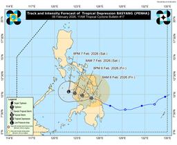
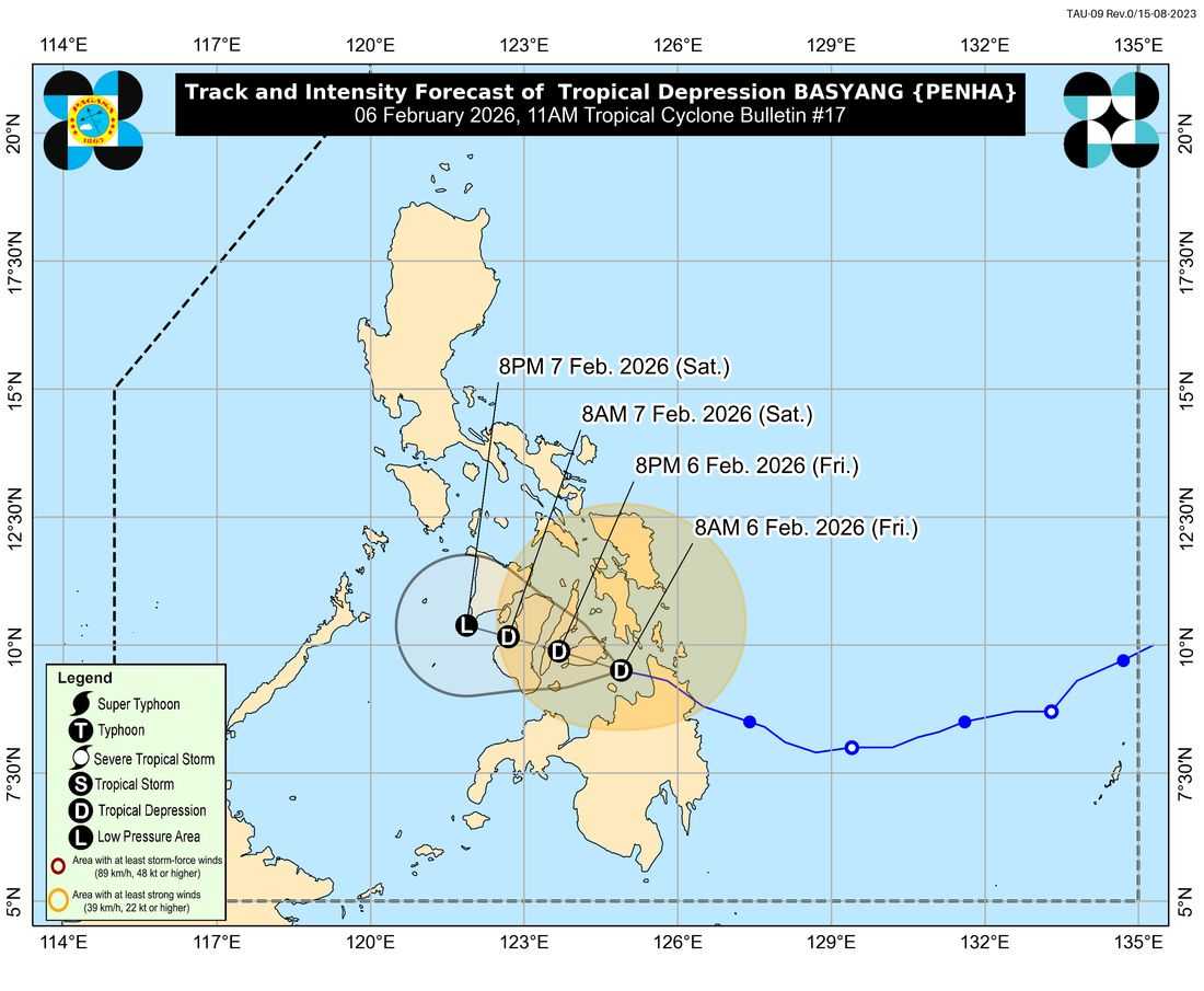
Tropical Storm Basyang has weakened into a tropical depression and is now approaching Bohol, the PAGASA said on Friday, February 6.
As of 11:00 a.m., the center of Tropical Depression Basyang was estimated over the coastal waters of Anda, Bohol. It is moving west-northwestward at 10 kilometers per hour, with maximum sustained winds of 55 kilometers per hour near the center and gusts of up to 70 kilometers per hour.
Despite its weakening, PAGASA said Tropical Cyclone Wind Signal No. 1 remains raised over 32 areas across Luzon, Visayas, and Mindanao, where minimal to minor impacts from strong winds are still possible.
In Luzon, Signal No. 1 is up in the southern portions of Occidental and Oriental Mindoro, Romblon, the northern portion of Palawan including the Calamian, Cuyo and Cagayancillo Islands, and the southern portion of Masbate.
In the Visayas, areas under Signal No. 1 include parts of Eastern Samar, Samar, Guimaras, Iloilo, Capiz, Antique, Aklan, Biliran, Bohol, Cebu, Negros Occidental, Negros Oriental, Leyte, Southern Leyte, and Siquijor.
In Mindanao, affected areas include the Dinagat Islands, Surigao del Norte including Siargao and Bucas Grande Islands, Agusan del Norte, Misamis Oriental, Camiguin, parts of Surigao del Sur and Agusan del Sur, northern and central portions of Bukidnon, eastern Lanao del Norte including Iligan City, parts of Misamis Occidental, northern Lanao del Sur, and eastern Zamboanga del Norte.
PAGASA warned that heavy rainfall may still affect several areas, raising the risk of flooding and landslides, especially in low-lying and mountainous communities.
There is also a minimal to moderate risk of storm surge of up to two meters in coastal areas of Mindoro, Romblon, Panay Island, Central Visayas, and parts of Mindanao within the next 48 hours.
All gale warnings have been lifted, but sea conditions remain rough in several coastal waters, with wave heights reaching up to four meters in parts of Eastern Visayas, Bicol, and Northern Mindanao. Small seacraft and motorbanca operators were advised not to venture out to sea, particularly in areas experiencing rough to moderate seas.
PAGASA said Basyang will continue moving west-northwestward and may pass close to or make landfall over Bohol and the southern portions of Cebu and Negros Oriental before crossing the southern part of Panay Island.
The weather agency added that the system may further weaken into a low pressure area by Friday afternoon or evening.