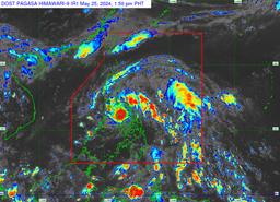
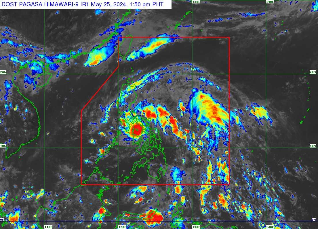
Several areas in the country have been placed under Tropical Cyclone Wind Signal (TCWS) No. 1 as Tropical Depression Aghon slightly weakened while crossing Ticao Island and Masbate City on Saturday, May 25, the state weather bureau PAGASA said.
In its 2PM weather bulletin, PAGASA said the following areas were under Signal No. 1:
LUZON
- Aurora
- The eastern portion of Nueva Ecija (General Tinio, Gabaldon)
- The eastern portion of Bulacan (Norzagaray, Doña Remedios Trinidad, City of San Jose del Monte)
- Metro Manila
- Quezon including Pollilo Islands
- Romblon (Cajidiocan, Magdiwang, San Fernando, Romblon, Corcuera, Banton, San Agustin, San Andres, Calatrava, Concepcion)
- Marinduque
- Laguna
- Rizal
- Oriental Mindoro (Pinamalayan, Pola, Naujan, Victoria, Socorro, City of Calapan)
- Batangas (Lobo, Taysan, Rosario, Padre Garcia, San Juan, Santo Tomas)
- Sorsogon
- Albay
- Catanduanes
- Camarines Sur
- Camarines Norte
- Masbate including Ticao and Burias Islands
Visayas
- The northern portion of Northern Samar (Rosario, Biri, San Isidro, Capul, San Vicente, Victoria, Lavezares, San Antonio, San Jose, Allen, Bobon)
- The northern portion of Samar (Tagapul-An)
Under TCWS No. 1, minimal to minor impacts from strong winds are possible.
According to PAGASA, the center of Tropical Depression Aghon was last seen over the coastal waters of Sibuyan Island (12.5°N, 122.9°E).
It is moving northwestward at 30 km/h, with maximum sustained winds of 45 km/h near the center and gustiness of up to 70 km/h.
PAGASA added that TD Aghon is expected to bring moderate to rough seas (1.5 to 3.5 m) over the coastal waters along the seaboards of Bicol Region, the southern seaboard of Quezon, the eastern seaboard of Eastern Visayas, the western seaboard of Samar and Northern Samar, and the eastern seaboard of Caraga Region.
The weather disturbance is forecasted to move generally northwestward and may possibly make landfall over Ticao Island within the next 12 hours. The tropical depression already made landfall in the vicinity of Giporlos in Eastern Samar early Saturday morning
Aghon will then continue to move northwestward over the coastal waters of Burias Island between Saturday afternoon or evening.
Aghon is forecast to emerge either over Lamon Bay or the waters north of Camarines Provinces by Sunday early morning, which may be followed by another landfall in the vicinity of Polillo Islands. During the said period, Aghon may reach tropical storm category.
As Aghon recurves towards the northeast around Sunday afternoon or evening, and moves over the Philippine Sea, it is forecast to continuously intensify and may reach typhoon category on Tuesday evening or Wednesday morning.
Based on the track forecast, Aghon may exit the Philippine Area of Responsibility no earlier than Tuesday.