At least thirteen areas in Luzon were placed under Signal No. 1 as Tropical Depression Amang maintained its strength as it meanders near Catanduanes, the state weather bureau PAGASA said Wednesday.
In its 11 a.m. bulletin, PAGASA said the following areas are under Tropical Cyclone Warning Signal No. 1:
- Catanduanes
- Sorsogon
- Albay
- Camarines Sur
- Camarines Norte
- Burias Island
- Ticao Island
- Laguna (Liliw, Magdalena, Majayjay, Luisiana, Cavinti, Pagsanjan, Santa Cruz, Lumban, Kalayaan, Paete, Pakil, Pangil, Siniloan, Famy, Santa Maria, Mabitac, Pila)
- Aurora
- Quezon (City of Tayabas, Pitogo, San Andres, Buenavista, San Francisco, Calauag, Pagbilao, Infanta, Lopez, Catanauan, Mulanay, Guinayangan, Unisan, General Luna, Plaridel, Quezon, Alabat, Lucban, Sampaloc, Padre Burgos, Macalelon, Mauban, General Nakar, Perez, Agdangan, Gumaca, Atimonan, Real, San Narciso, Tagkawayan) including Polillo Islands
- Rizal (Tanay, Pililla, Jala-Jala, Rodriguez, Baras, City of Antipolo)
- Bulacan (Norzagaray, Doña Remedios Trinidad)
- Nueva Ecija (Gabaldon, Bongabon, Laur, General Tinio)
Strong winds from strong breeze to near gale strength associated with Amang are expected in areas under TCWS No. 1 that may result in minimal to minor impacts to life and property.
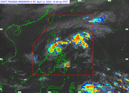
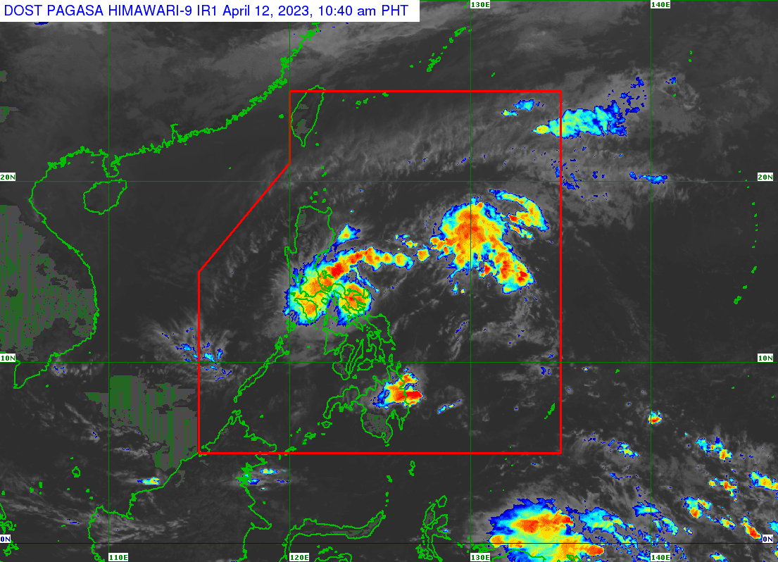
PAGASA said TD Amang was last seen over the coastal waters of Caramoan, Camarines Sur with maximum sustained winds of 45 km/h near the center, gustiness of up to 55 km/h, and a central pressure of 1004 hPa. It is currently moving slowly Northwestward.
Amang will move northwestward in the next 12 hours and will pass over the eastern localities in Camarines Sur, Lamon Bay, and Quezon with the possibility of passing near or over Polillo Islands.
The track might change due to the weak and disorganized nature of Amang, PAGASA said.
“The tropical depression is forecast to weaken into a low-pressure area by tomorrow, possibly earlier, due to the combined effects of land interaction, dry air intrusion, and increasing vertical wind shear,” the state weather bureau noted.
PAGASA said that for the next 24 hours, an accumulated rainfall of around 50 to 100 millimeters is expected over Camarines Norte, Camarines Sur, and Quezon.
For the next three days, 50-100 mm of accumulated rainfall is expected in Calabarzon, Metro Manila, Tarlac, Pampanga, Bulacan, Camarines Norte, Camarines Sur, and the southern portion of Aurora.
“Under these conditions, isolated flash floods and rain-induced landslides are possible, especially in areas that are highly or very highly susceptible to these hazards as identified in hazard maps and in localities that experienced considerable amounts of rainfall for the past several days," PAGASA said.