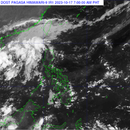
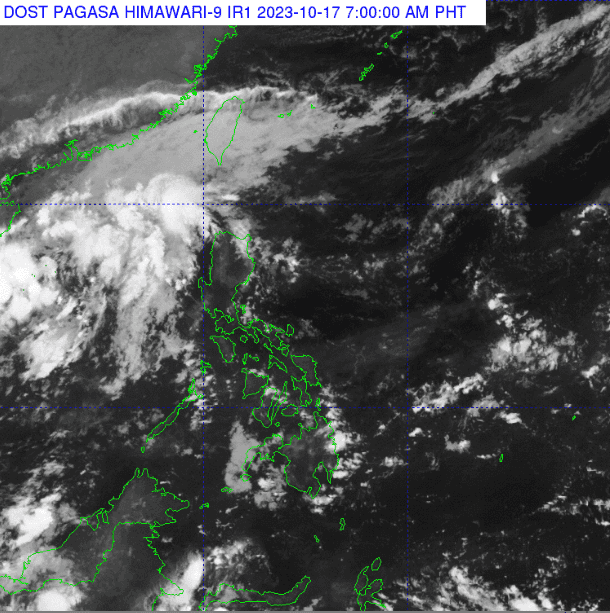
The Northeasterly surface windflow will bring rain over parts of the country, according to Philippine Atmospheric, Geophysical and Astronomical Services Administration (PAGASA).
Based on the weather bureau's latest bulletin, Batanes, Cagayan, and Isabela will have cloudy skies with rains caused by the Northeasterly surface windflow.
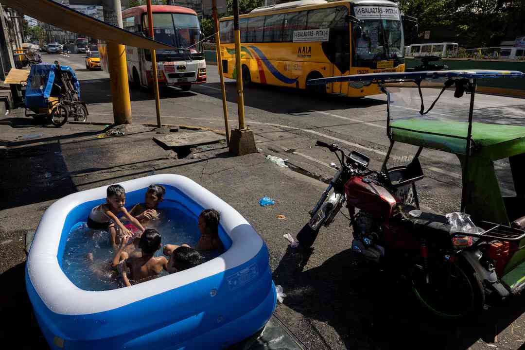
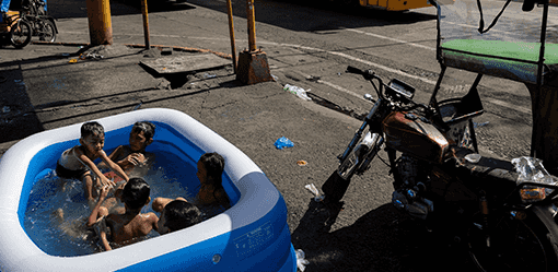
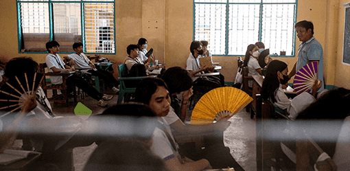
Meanwhile, Metro Manila and the rest of the country will experience partly cloudy to cloudy skies with isolated rainshowers or thunderstorms also caused by Northeasterly Surface Windflow or localized thunderstorms.
For forecast wind and coastal waters, Northern and Central Luzon will have moderate to strong wind speeds moving in a northeast to east direction, while coastal waters will be moderate to rough.
The rest of the country will have a light to moderate wind speed moving in a northeast to southeast direction with slight to moderate coastal waters.
Sunrise is at 5:48 a.m. while sunset will be at 5:35 a.m.