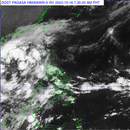
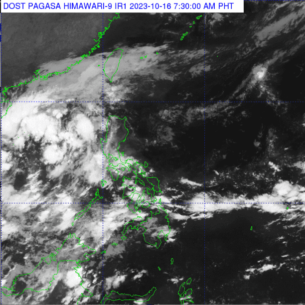
Several areas in the country will experience rains due to trough low pressure areas (LPA), northeasterly surface windflow, and localized thunderstorms, according to PAGASA.
Based on PAGASA's latest forecast on Monday, October 16, Palawan will have cloudy skies with scattered rainshowers and thunderstorms caused by the Trough of LPA.
On the other hand, Batanes, Cagayan, Isabela, and Apayao will have partly cloudy to cloudy skies with isolated light rains due to northeasterly surface windflow, but this has no significant impact.
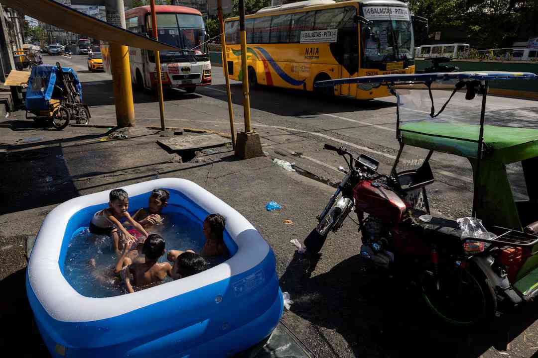
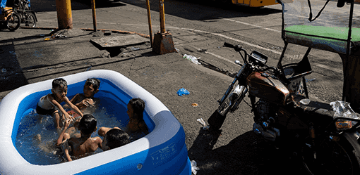
Metro Manila and the rest of the country will experience partly cloudy to cloudy skies with isolated rainshowers or thunderstorms caused by the localized thunderstorms.
Meanwhile, Northern and Central Luzon have moderate to strong wind speeds moving in a northeast to southeast direction, and coastal waters will be moderate to rough.
The rest of the country will have light to moderate wind speeds moving from northeast to southeast, while coastal waters will be slight to moderate.
Sunset will be at 5:48 a.m. while sunset will be at 5:36 p.m.