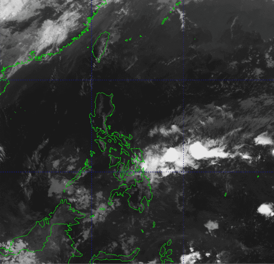
The state weather bureau on Wednesday, Nov. 15, reported that the low pressure area (LPA) it is monitoring outside the Philippine Area of Responsibility (PAR) has possibility to re-intensify and develop into a tropical depression.
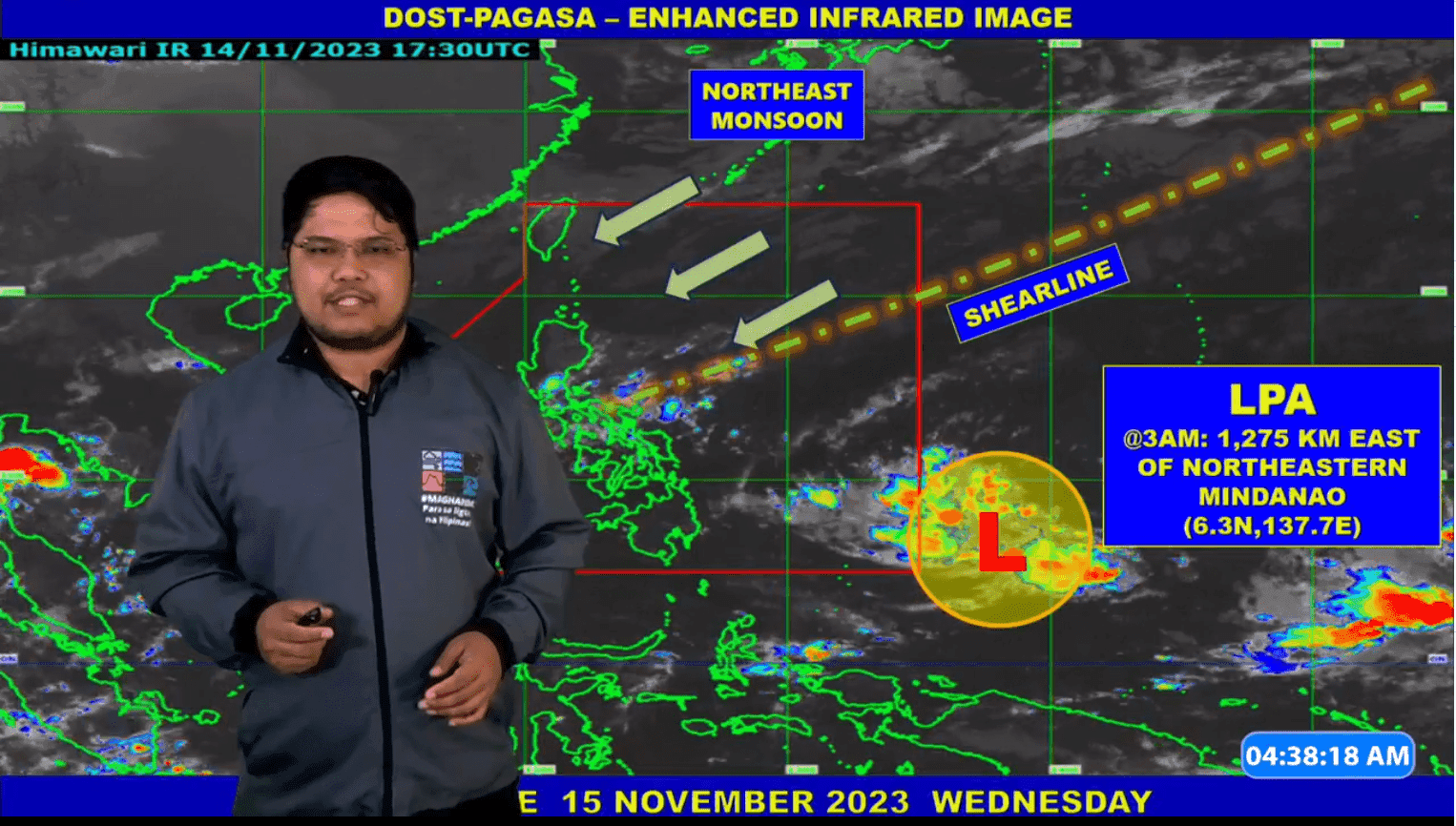
In a public weather forecast, PAGASA Weather Specialist Obet Badrina said the LPA was last tracked 1,275 kilometers east of Northeastern Mindanao.
"Sa ngayon, base sa ating pinaka-huling datos, medyo maliit pa yung tyansa na maging bagyo ito within the day. Pero hindi pa rin inaalis ang posibilidad na sa susunod na araw, lalo na bandang Biyernes o weekend, possible itong maging bagyo pa rin, mag re-intensify," Badrina said.
He added that the LPA may enter the PAR region in the next days.
"Bagama't sa ngayon, wala pa itong direktang epekto sa anumang bahagi ng ating bansa," the PAGASA weather specialist said.
It can be recalled tha the LPA developed into tropical depression on Monday but it weakened on Tuesday.
Meanwhile, Badrina stated that shearline is presently affecting most parts of the country.
"Ito yung pagitan ng mainit at malamig na hangin, nagdadala ho ng malaking tyansa ng pag-ulan, lalong-lalo na sa may silangan na bahagi ng Luzon at Visayas," he said.
On the other hand, the PAGASA weather specialist said that the northeast monsoon or Amihan is affecting Northern Luzon.
"Maari itong magdala ng pulo-pulong mahihinang pag-ulan," he said.
According to Barina, generally fair weather will prevail over Visayas and Mindanao.
The PAGASA weather specialistnoted that no other LPA is being monitored outside PAR.