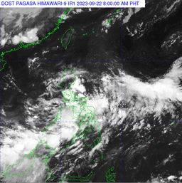
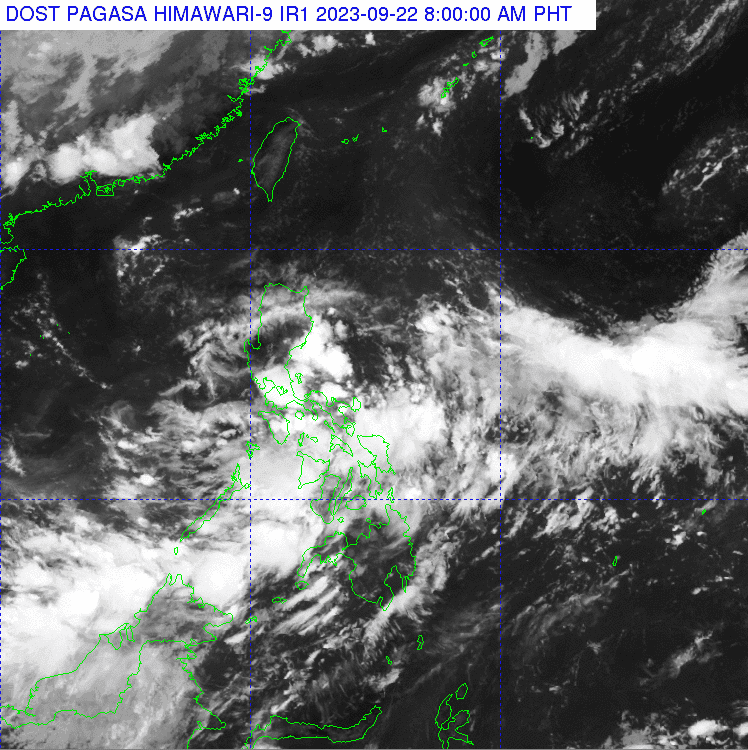
The low pressure area (LPA) and localized thunderstorms will bring rains over parts of the country, according to PAGASA on Thursday, Oct. 12.
Based on the state weather bureau's 3 AM update, an LPA was spotted 860 kilometers (km) east of Eastern Visayas, and another LPA was seen 135 km west of Coron, Palawan.
Meanwhile, a tropical cyclone, also known as Super Typhoon Bolaven, was seen outside the Philippine Area of Responsibility (PAR). It was located 2,190 km east of Extreme, Northern Luzon, packing maximum sustained winds of 215 km per hour (kph) and moving north-northwestward at 15 kph.
Bicol Region, MIMAROPA, Quezon, Northern Samar, and Eastern Samar will experience cloudy skies with scattered rainshowers and thunderstorms caused by the LPA.
Metro Manila and the rest of the country will have partly cloudy to cloudy skies with isolated rainshowers or thunderstorms due to localized thunderstorms.
In terms of wind and coastal water conditions, Northern Luzon will have moderate to strong wind speeds moving in the northeast direction, while coastal waters will be moderate to rough.
Visayas and the rest of Luzon will have light to moderate wind speeds moving in a northeastern to northwestern direction, while coastal waters will be slight to moderate.
Mindanao will have light to moderate wind speed moving to a southwest-to-west direction, while coastla waters will also be slight to moderate.
Sunrise will be at 5:47 a.m. and sunset will be at 5:38 p.m.